Rand McNally
Montana & Wyoming State Highway Folded Map by Rand McNally
Montana & Wyoming State Highway Folded Map by Rand McNally
Couldn't load pickup availability
Share
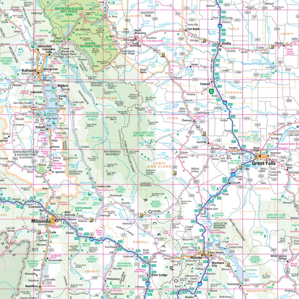
Hit the road through Big Sky Country and the Cowboy State with the Montana & Wyoming State Highway Folded Map by Rand McNally! Perfect for planning your epic road trip, this map helps you navigate with confidence, spotting every highway, park, and hidden gem along the way—like the quirky yet charming Little Bighorn Battlefield National Monument, a must-see off-the-beaten-path stop.
Rand McNally’s Easy-to-Read maps are a traveler’s dream, offering up-to-date, full-color detail at a glance. Interstates, U.S., state, and county highways are all clearly labeled, plus parks, airports, points of interest, and county lines make planning smooth and simple. A handy legend and detailed index put destinations right at your fingertips, while mileage and driving times help you map out the ultimate adventure. Compact and conveniently folded, this larger, easy-to-read map is your essential companion for exploring Montana and Wyoming with ease and style.
SKU: SKU:RMCUSMT
View full details