DeLorme
Montana Topographic Atlas & Gazetteer by DeLorme
Montana Topographic Atlas & Gazetteer by DeLorme
Couldn't load pickup availability
Share
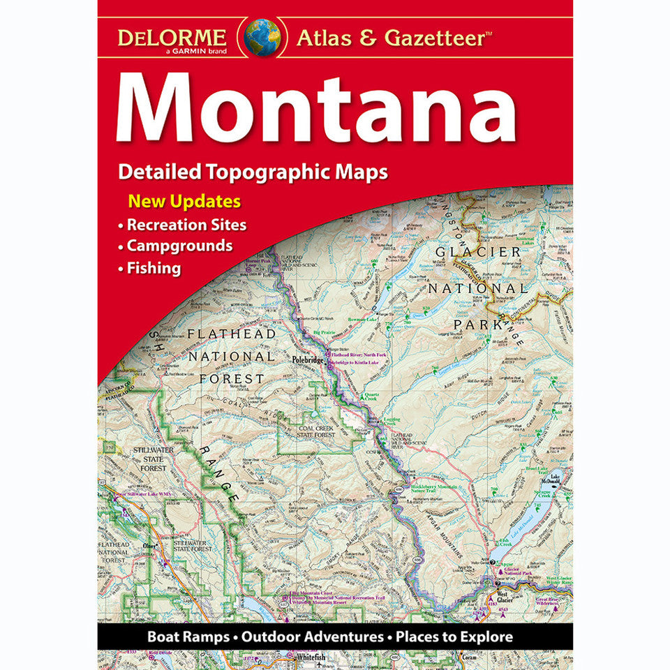
Chase big mountain views, discover secret fishing holes, and roam wide-open wilderness with the Montana Topographic Atlas & Gazetteer by DeLorme! Your next Big Sky Country adventure starts here—with 96 pages of backroads, trails, and outdoor discoveries.
Forget squinting at your phone or wrestling with oversized folded maps! This handy, book-bound Montana atlas keeps detailed, full-color topographic maps right at your fingertips, even when cell service disappears. Explore scenic drives, historic sites, trailheads, boat ramps, recreation areas, and prime fishing spots while planning your next hike, camping trip, or backcountry escape.
Venture beyond the crowds to discover the diverse landscapes surrounding Flathead Lake and the rugged beauty of the Missouri River Breaks, two standout destinations for outdoor recreation. From forested mountain trails and sparkling alpine lakes to rolling plains and winding river valleys, Montana offers endless reasons to take the scenic route.
An extensive index makes finding locations easy, while a latitude/longitude grid supports GPS navigation. Handy inset maps cover major cities and state lands, too. Whether you're hiking, fishing, boating, or road-tripping, this DeLorme Montana Topographic Atlas & Gazetteer is your trusty guide to exploring the Big Sky State!
SKU: SKU:DELMT
View full details