Tom Harrison Maps
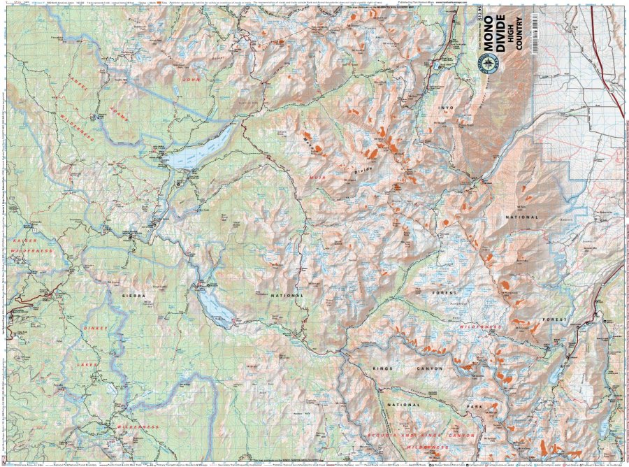
Mono Divide High Country Hiking Map by Tom Harrison
Mono Divide High Country Hiking Map by Tom Harrison
Couldn't load pickup availability
Share
Hit the trail and discover the spectacular Sierra Nevada with the Mono Divide High Country Hiking Map by Tom Harrison! From shimmering alpine lakes to rugged granite peaks, this detailed topographic map is your go-to guide for unforgettable hikes through California’s magnificent mountain wilderness.
Covering the region from Lake Sabrina above Bishop to the Mono Divide above Rock Creek, this hiking map explores much of the John Muir Wilderness and Ansel Adams Wilderness. Navigate legendary routes along the Pacific Crest Trail (PCT) and John Muir Trail (JMT), with access to breathtaking mountain scenery, secluded campsites, and pristine backcountry lakes.
Wander through fragrant pine forests, colorful wildflower meadows, and high-country terrain while keeping an eye out for mule deer, marmots, pikas, and black bears. With 80-foot contour intervals, trail mileage, elevation points, trailheads, campgrounds, ranger stations, bear boxes, and forest service roads, this Tom Harrison hiking map helps you plan confidently.
Scale: 1:63,360. Your next Sierra adventure awaits!
SKU: SKU:HARMONO
View full details