1
/
of
2
National Geographic
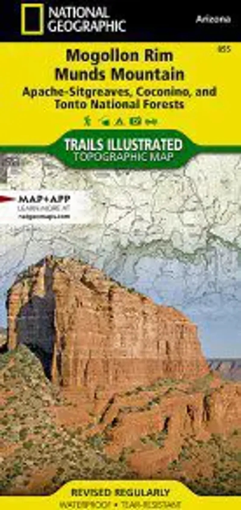
Mogollon Rim & Munds Mountain Map
Mogollon Rim & Munds Mountain Map
Regular price
$14.95 USD
Regular price
Sale price
$14.95 USD
Unit price
/
per
Couldn't load pickup availability
Share
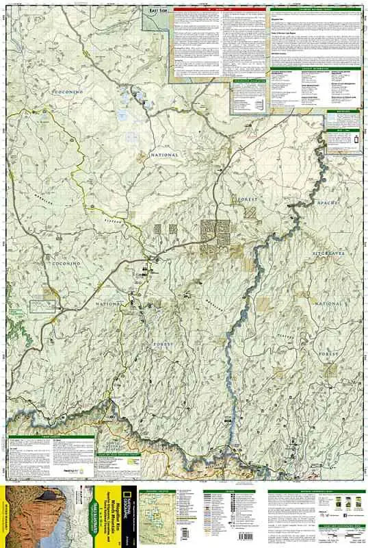
National Geographic Map 855 Mogollon Rim & Munds Mountain covers a region between Phoenix and Flagstaff, Arizona. One can find recreational opportunities within the Coconino, Tonto and Apache-Sitgreaves National Forests. This map features a number of pocket wilderness areas: Munds Mountain Wilderness, Wet Beaver Wilderness, West Creek Wilderness, Fossil Springs. A couple of long distance trails are highlighted on the map - The General George Crook Trail and the Fred Haught Trail.
- 1" = 1.1 mile / 1 cm = .7 kilometer
- Contour Interval 50 feet
- Waterproof