

National Forest Service
Modoc National Forest - Modoc Country Forest Service Map
Modoc National Forest - Modoc Country Forest Service Map
Couldn't load pickup availability
Share
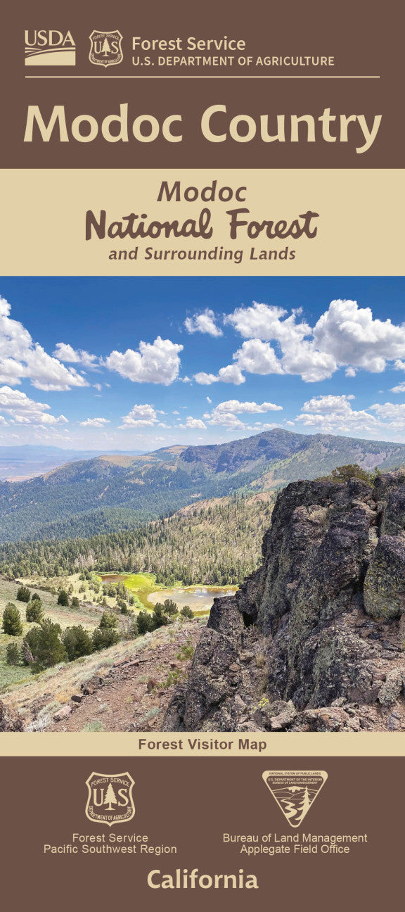
Explore the wild beauty of northeastern California with the Modoc Country Forest Service Map - your key to over 2 million acres of rugged volcanic landscapes, ancient lava beds, and high-desert solitude.
Centered around Modoc National Forest, this waterproof, topographic map guides you to top attractions like the mysterious Medicine Lake Volcano, pristine Clear Lake Reservoir, and the panoramic Cedar Pass Scenic Byway. Discover forests dotted with ponderosa pine, juniper, and aspen, while keeping an eye out for bald eagles, pronghorn antelope, and mule deer. Rich in Native American history, this region was home to the Modoc Tribe and the site of the Modoc War.
Located at California’s remote northeast corner, bordering Oregon and Nevada, it’s an uncrowded gem for hiking, camping, and backroad adventures. Whether you're planning a backcountry escape or a scenic road trip, the Modoc Country Forest Service Map helps you explore with confidence.
- Waterproof Map
- 1" to the Mile
- Topographic lines with contour interval of 80 ft
SKU: SKU:NFCAMOD
View full details