Rand McNally
Mississippi State Highway Folded Map by Rand McNally - Easy to Read
Mississippi State Highway Folded Map by Rand McNally - Easy to Read
Couldn't load pickup availability
Share
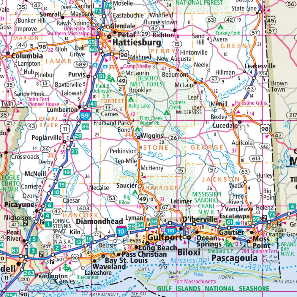
Hit the open road and discover the “Magnolia State” with Rand McNally’s Mississippi Easy to Read State Highway Map—your ultimate travel companion for exploring every corner of this southern gem! Unlike digital maps that vanish when service drops, this full-color folded map keeps you confidently on course from the Gulf Coast to the Tennessee line.
Packed with up-to-date cartography, it highlights Interstates, U.S., state, and county highways with larger, easy-to-read type. Quickly locate parks, airports, county lines, and scenic byways using the clear legend and detailed index. Whether you’re tracing the historic Natchez Trace Parkway or cruising toward the lesser-known Tishomingo State Park—where giant rock formations and swinging bridges steal the show—this map gets you there with accuracy and ease.
Durable, affordable, and refreshingly analog, Rand McNally’s Mississippi Highway Map turns every road trip into an unforgettable adventure—no Wi-Fi required.
SKU: SKU:RMCUSMS
View full details