Rand McNally
Minnesota State Highway Laminated Map by Rand McNally - Easy to Fold
Minnesota State Highway Laminated Map by Rand McNally - Easy to Fold
Couldn't load pickup availability
Share
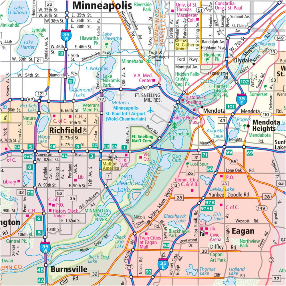
Hit the road across the Land of 10,000 Lakes with the Minnesota State Highway Laminated Map by Rand McNally, designed for travelers who want durability and convenience in every mile. This heavy-duty laminated map is built to withstand spills, creases, and the daily bumps of any road trip, letting you mark routes, make notes, and wipe clean for repeated use.
Planning your journey has never been easier, whether you’re exploring Minneapolis’ vibrant streets or discovering hidden gems like the North Shore’s Split Rock Lighthouse, a lesser-known must-see destination. Covering Minnesota’s extensive 86,936 miles of roads, this map clearly displays highways, county lines, and points of interest, while its easy-to-fold design lets you focus on the section you need without fumbling.
Complete with a quick-reference legend and city index, this full-color map makes navigating the state seamless and fun, whether you’re a local or a first-time visitor.
SKU: SKU:RMCUSMNE
View full details