Rand McNally
Minnesota State Highway Folded Map by Rand McNally - Easy to Read
Minnesota State Highway Folded Map by Rand McNally - Easy to Read
Couldn't load pickup availability
Share
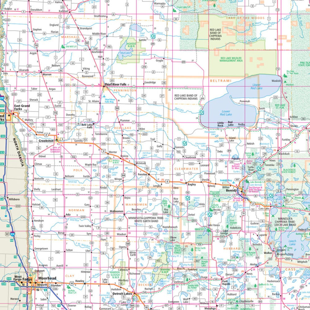
Hit the open road and explore the Land of 10,000 Lakes with the Rand McNally Minnesota Easy to Read State Highway Map—your ultimate paper-powered travel companion! Ditch the weak signal and endless zooming; this full-color folded map gives you a bird’s-eye view of every route, rest stop, and roadside attraction across the North Star State.
Whether you’re cruising scenic Highway 61 along Lake Superior or venturing off the beaten path to the quirky Jeffers Petroglyphs—home to ancient rock carvings older than Stonehenge—you’ll have unbeatable accuracy right at your fingertips.
Rand McNally’s trusted cartography highlights Interstates, U.S. and state highways, county roads, parks, airports, and points of interest. With larger type, clear labeling, and a detailed index, navigation has never been easier. Regularly updated and conveniently folded, this map is the must-have essential for road trippers, explorers, and anyone ready to chart their own Minnesota adventure.
SKU: SKU:RMCUSMN
View full details