Rand McNally
Michigan State Highway Laminated Map by Rand McNally - Easy to Fold
Michigan State Highway Laminated Map by Rand McNally - Easy to Fold
Couldn't load pickup availability
Share
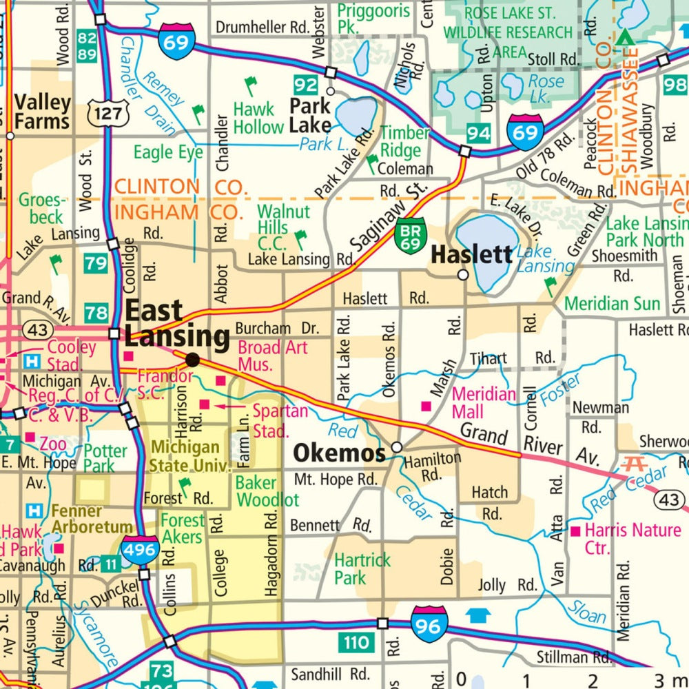
Hit the road with confidence using the Michigan State Highway Laminated Map by Rand McNally, designed for travelers who want a durable, easy-to-use guide on every adventure. The heavy-duty laminated surface lets you mark routes, jot notes, and wipe clean without worry, making it perfect for planning road trips or navigating on the fly.
Compact and easy to fold, this map opens up to display each section clearly, showing highways, county lines, points of interest, and more. Discover Michigan’s hidden gems beyond the usual stops, like the serene Tunnel of Trees drive along M-119, a must-see for scenic lovers. Covering over 56,000 miles of roads across the state, this map is an essential travel companion whether you’re exploring Detroit, Traverse City, or charming small towns along the way.
Quick-reference legends and a city index make finding your next stop simple and stress-free. Durable, practical, and adventure-ready.
SKU: SKU:RMCUSMIE
View full details