International Travel Maps
Mexico City & Central Region Travel Map
Mexico City & Central Region Travel Map
Couldn't load pickup availability
Share
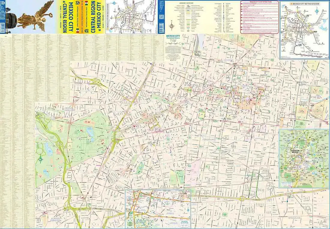
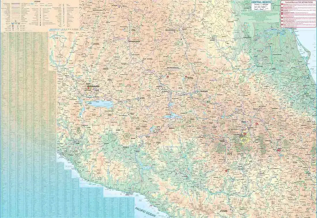
Explore the vibrant heart of Mexico with the ITMB Folded Mexico City Travel Map. On one side, this detailed map captures the bustling metropolis of Mexico City, the largest city in the Americas with a population of around 30 million. Featuring a scale of 1:12,000, it covers the city’s core, from the train station in the north to the university in the south, and from the expansive bus station in the east to the tranquil Chapultepec Park in the west. The map highlights major hotels, attractions, and touristic sites, including the historic Zócalo, the National Museum of Anthropology, and the stunning Frida Kahlo Museum. Insets provide additional detail on the metropolitan area and the extensive rapid transit network, ensuring ease of navigation throughout this bustling urban center.