International Travel Maps
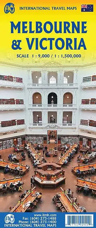
Melbourne & Victoria Travel Map
Melbourne & Victoria Travel Map
Couldn't load pickup availability
Share
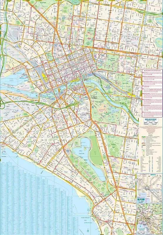
Melbourne & Victoria Road & Travel Map: Exploring Melbourne and the scenic State of Victoria is effortless with ITMB’s double-sided, folded travel map. The front side showcases Melbourne at a detailed scale of 1:9,000, covering the urban area from St. Kilda to Parkville. Major attractions, including Federation Square, the Royal Botanic Gardens, and the Queen Victoria Market, are highlighted alongside the city’s extensive tram network. A list of top sights and a regional rail map provide added convenience for navigating this dynamic metropolis.
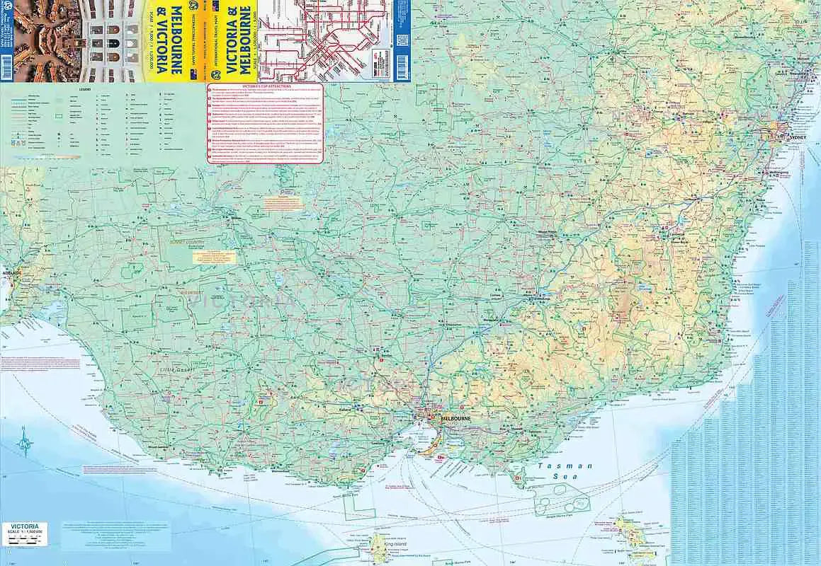
On the reverse, an updated 1:1,500,000 scale map expands coverage to the entire state of Victoria and beyond, extending to Sydney, Canberra, and Adelaide. The Great Ocean Road, one of Australia’s most breathtaking coastal drives, is clearly marked, guiding travelers past the iconic Twelve Apostles. Rail lines are detailed, though most visitors explore the region car.
Mount Kosciuszko, Australia’s highest peak, is featured, offering outdoor enthusiasts a reference point for alpine adventures. Highways, main roads, national parks, rivers, and points of interest are all included for comprehensive trip planning.
With a generous 27” x 39” layout, clear cartography, and in-depth details, this travel map ensures a well-planned journey through Australia’s cultural and natural wonders.
SKU: SKU:ITMMELBOURNE
View full details