National Geographic
Mazatzal & Pine Mountain Wilderness Areas Trails Illustrated Map #850
Mazatzal & Pine Mountain Wilderness Areas Trails Illustrated Map #850
Couldn't load pickup availability
Share
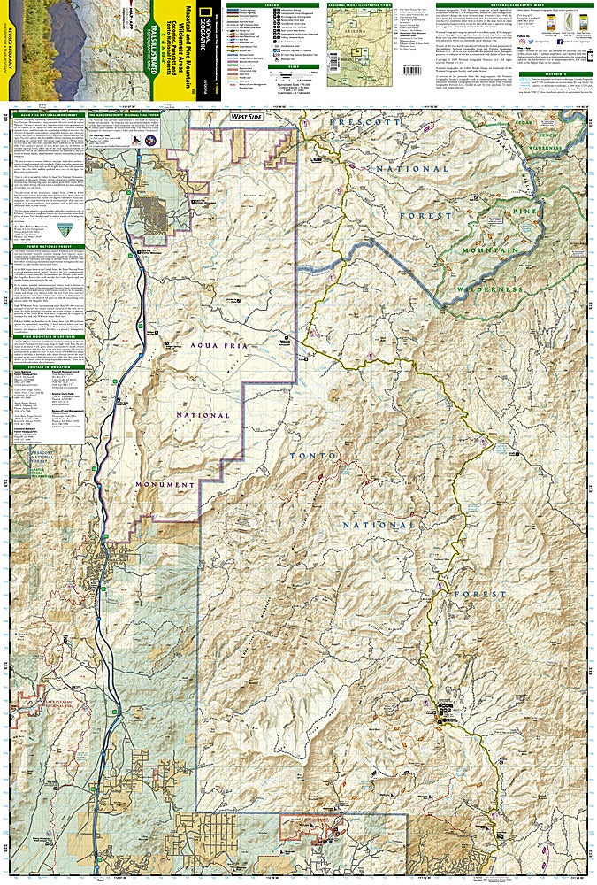
Discover the wild beauty just north of Phoenix with the Mazatzal & Pine Mountain Wilderness Areas Trails Illustrated Topographic Map #850 by National Geographic. From rugged peaks to serene river valleys, this map puts the adventure at your fingertips, guiding you through some of Arizona’s most stunning landscapes. Hike to Mazatzal Peak for breathtaking panoramic views, wander the ancient forests along the Verde Wild and Scenic River, or marvel at the dramatic cliffs of Tonto Natural Bridge State Park.
Rich in history, these wilderness areas were once traversed by Native American tribes and early settlers, leaving behind traces of human stories amid their natural splendor. Covering Coconino, Prescott, and Tonto National Forests, the map details every trail, peak, reservoir, and recreation site with unmatched precision. Color-coded trails, contour lines, elevations, and clearly marked land boundaries make navigation easy, whether you’re on foot, bike, horseback, or exploring off-road. Campgrounds, river access points, interpretive trails, and safety tips are all included, plus a full UTM grid for GPS users.
Printed on waterproof, tear-resistant paper, this map is rugged enough to match your next adventure.
SKU: SKU:TRA850
View full details