Rand McNally
Massachusetts State Highway Laminated Map Rand McNally - Easy to Fold
Massachusetts State Highway Laminated Map Rand McNally - Easy to Fold
Couldn't load pickup availability
Share
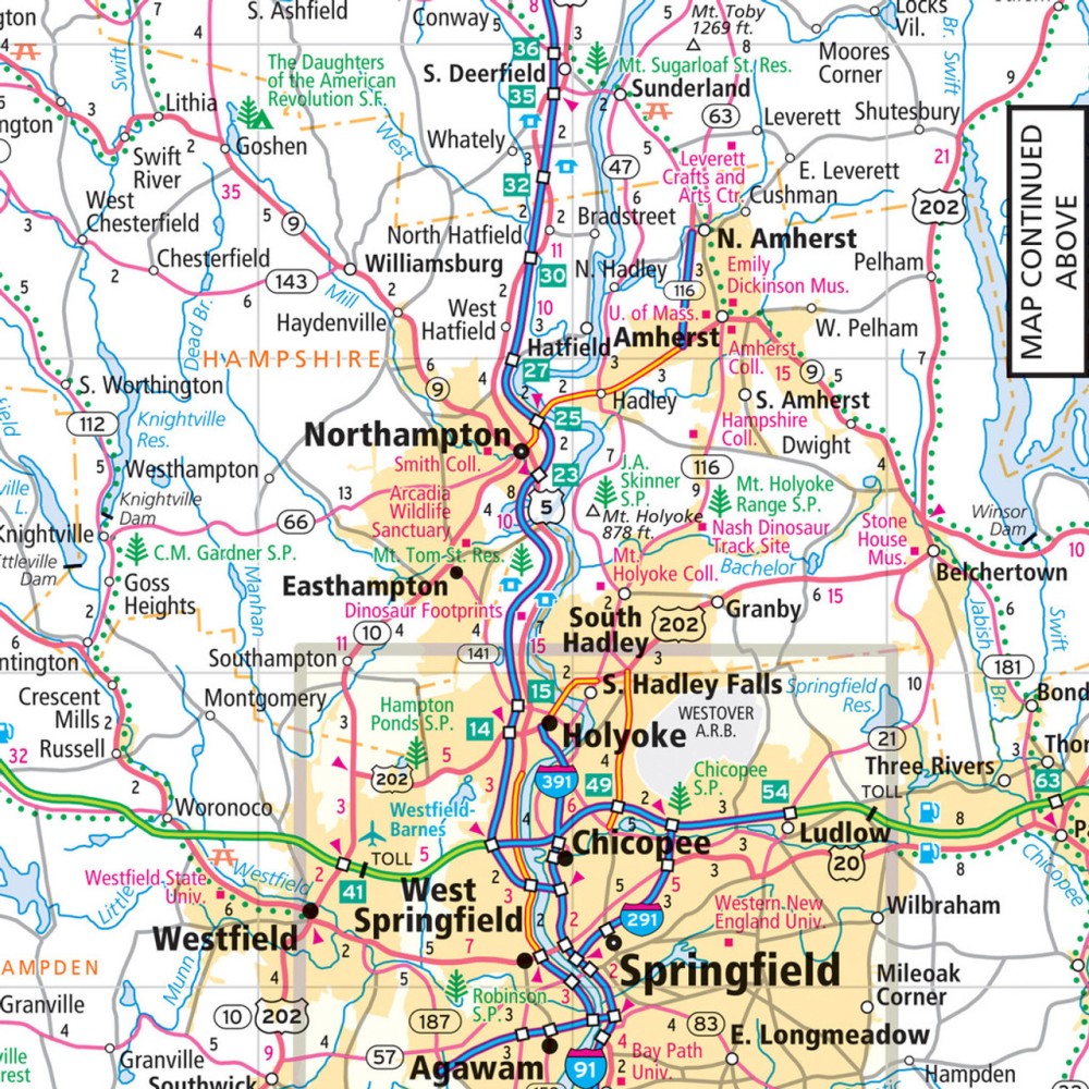
Hit the road across the Bay State with the Rand McNally Massachusetts State Highway Laminated Map, the ultimate travel companion that makes navigation simple and stress-free. This easy-to-fold, heavy-duty laminated map stands up to spills, creases, and constant use, letting you mark routes, make notes, and wipe it clean for repeated adventures. With clearly marked highways, county lines, points of interest, and a quick-reference city index, you’ll always know exactly where you are.
Discover hidden gems beyond the usual tourist stops, like the charming village of Rockport, a coastal escape brimming with art galleries and seaside views. Covering over 3,500 miles of state roads, this map gives you a true sense of Massachusetts’ scale and geography. Whether you’re planning a scenic road trip or exploring local towns, the Rand McNally laminated map is durable, practical, and ready for every journey—making it a must-have for both residents and visitors.
SKU: SKU:RMCUSMAE
View full details