Rand McNally
Massachusetts State Highway Folded Map by Rand McNally - Easy to Read
Massachusetts State Highway Folded Map by Rand McNally - Easy to Read
Couldn't load pickup availability
Share
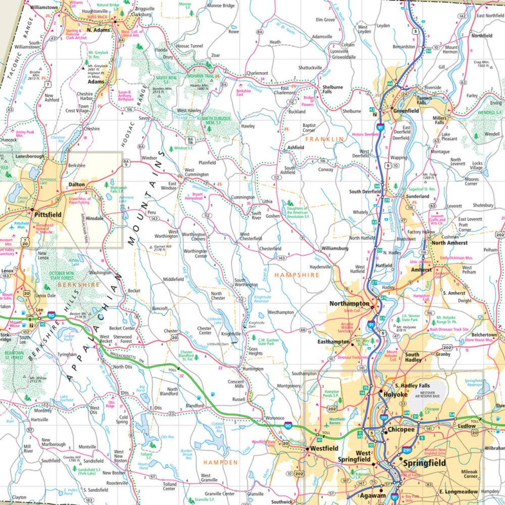
Hit the road and uncover the beauty of the "Bay State" with Rand McNally’s Massachusetts Easy to Read State Highway Map! Ditch the small screens and spotty service—this full-color folded map gives you a big-picture view for smarter trip planning, scenic detours, and can’t-miss pit stops.
From the winding Mohawk Trail to the peaceful shores of Plum Island—a hidden gem for birdwatchers and beach lovers alike—you’ll explore Massachusetts like a true local. Rand McNally’s trusted cartography highlights every Interstate, U.S., state, and county highway with crystal-clear labeling, plus parks, airports, county lines, and points of interest across the state.
Featuring a larger map with bigger type, updated details, and a super-handy legend and index, this road trip essential makes navigation easy and enjoyable. Whether you’re cruising through Boston or chasing fall colors in the Berkshires, this durable folded map is your ticket to adventure.
SKU: SKU:RMCUSMA
View full details