National Geographic
Mammoth Lakes & Mono Divide Trails Illustrated Topographic Map #809
Mammoth Lakes & Mono Divide Trails Illustrated Topographic Map #809
Couldn't load pickup availability
Share
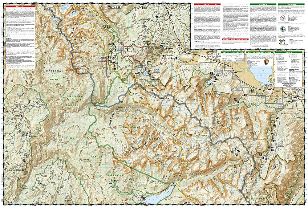
Step into the heart of California’s high Sierra with the Mammoth Lakes & Mono Divide Trails Illustrated Topographic Map #809 by National Geographic. From towering peaks to serene alpine lakes, this map covers iconic destinations like Devils Postpile National Monument, the Ansel Adams Wilderness, and the sparkling waters of Lake George. Hike sections of the legendary John Muir and Pacific Crest Trails while navigating detailed contour lines, elevation markers, and trail distances that make planning your adventure simple and safe.
Rich in history, the area showcases remnants of historic mining routes, the volcanic wonders that formed the Mammoth Lakes basin, and centuries-old native heritage sites. Whether you’re seeking rugged backcountry routes or family-friendly day hikes, this map identifies campgrounds, trailheads, interpretive trails, horse pack stations, and boat launch sites.
Printed on waterproof, tear-resistant paper with a full UTM grid for GPS navigation, this map is as durable as it is informative. With clear road types, usage markers, and wilderness regulations, it’s your ultimate guide to exploring California’s spectacular Mono Divide and Mammoth Lakes region with confidence.
SKU: SKU:TRA809
View full details