Tom Harrison Maps
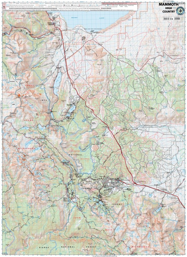
Mammoth High Country Hiking Map by Tom Harrison
Mammoth High Country Hiking Map by Tom Harrison
Couldn't load pickup availability
Share
Discover the spectacular Sierra Nevada with the Mammoth High Country Hiking Map by Tom Harrison! From sparkling alpine lakes to dramatic granite peaks, this detailed topographic map helps hikers plan unforgettable adventures in California’s Eastern Sierra.
Explore the trails surrounding Mammoth Lakes, from McGee Creek, Convict Lake, and Lake Mary to Devils Postpile, the Minarets, Thousand Island Lake, June Lake, Lee Vining, and Mono Lake. Follow scenic routes like the John Muir Trail and the popular hike to Thousand Island Lake, where breathtaking mountain views reward every step.
Along the way, discover colorful alpine wildflowers, fragrant lodgepole pines, and rugged subalpine forests while keeping an eye out for mule deer, marmots, pikas, and black bears. With an easy-to-read 1:63,360 scale and 80-foot contour intervals, this Mammoth High Country Hiking Map features trail mileage, elevation points, trailheads, campgrounds, ranger stations, equestrian facilities, bear boxes, and forest service roads. Pack your map and hit the trail with confidence!
SKU: SKU:HARMAMMOTH
View full details