1
/
of
1
National Forest Service
Malheur National Forest - Southern Blue Mountains Recreation Map
Malheur National Forest - Southern Blue Mountains Recreation Map
Regular price
$19.95 USD
Regular price
Sale price
$19.95 USD
Unit price
/
per
Couldn't load pickup availability
Share
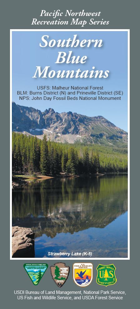
Discover the untamed beauty of Oregon’s remote backcountry with the Southern Blue Mountains Forest Service Map, part of the Pacific Northwest Recreation Map Series. Spanning parts of the Malheur, Umatilla, and Wallowa-Whitman National Forests, this topographic, waterproof map guides you through over a million acres of wilderness.
Explore the dramatic vistas of Strawberry Mountain Wilderness, the serene John Day Fossil Beds, and the panoramic vistas atop Aldrich Mountain. Wildlife enthusiasts may spot elk, mule deer, black bears, and even bald eagles soaring overhead. Wildflower-filled meadows and ancient Ponderosa pine forests offer stunning seasonal color. Rich in Native American and pioneer history, this rugged region invites hiking, camping, fishing, and off-road adventures.
Located in eastern Oregon, it's a hidden gem for outdoor lovers craving solitude and scenery. Use this map to unlock unforgettable adventures in one of the Pacific Northwest’s most underrated landscapes.
Features: Shaded relief, waterproof paper, roads, lakes, rivers, trails, campsites, boating info, historic trails.
SKU: SKU:NFORM
View full details