DeLorme
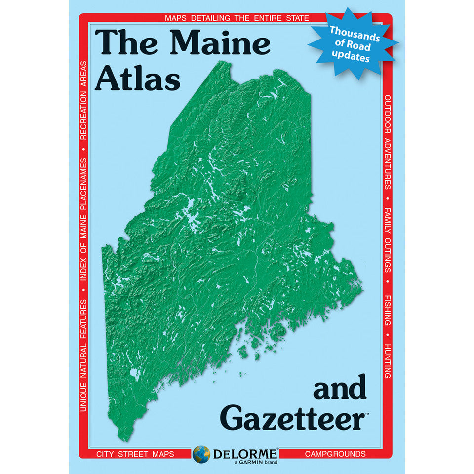
Maine Topographic Atlas & Gazetteer by DeLorme
Maine Topographic Atlas & Gazetteer by DeLorme
Couldn't load pickup availability
Share
Find your next trail, secret swimming hole, or quiet lakeside campsite in Vacationland! The Maine Topographic Atlas & Gazetteer by DeLorme is your ticket to backroad exploring, outdoor adventure, and discovering Maine beyond the beaten path.
Forget juggling folded maps or worrying about cell service! This convenient, book-bound atlas keeps detailed, full-color topographic maps right at your fingertips, ready to flip through, compare, and consult wherever the road—or trail—takes you. Explore charming towns, scenic drives, historic sites, hiking trailheads, boat launches, and hidden fishing spots throughout the Pine Tree State.
Plan a wilderness getaway to Baxter State Park, home to rugged peaks and the legendary Mount Katahdin, or explore the lakes, forests, and outdoor recreation around Rangeley Lakes. From winding backroads to remote public lands, this atlas helps you uncover Maine’s incredible variety of landscapes and recreational escapes.
An extensive index, latitude/longitude grid for GPS navigation, and handy inset maps of major cities and state lands make trip planning easier. Whether you’re hiking, camping, paddling, fishing, or cruising coastal roads, this DeLorme Maine Topographic Atlas & Gazetteer is your dependable companion for exploring farther!
SKU: SKU:DELME
View full details