Benchmark
Maine Recreation Folded Map by Benchmark Maps
Maine Recreation Folded Map by Benchmark Maps
Couldn't load pickup availability
Share
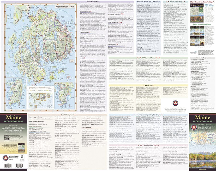
Plan your next Maine adventure with a map that puts the Pine Tree State’s best scenery, roads, and recreation right at your fingertips! From the rugged summit of Mount Katahdin to the rocky coastline of Mount Desert Island, the Maine Recreation Folded Map by Benchmark Maps is your go-to guide for exploring it all.
At 1:190,080 scale, this 38.25" x 27" folded map covers the entire state with detailed highways, points of interest, public land boundaries, and colorful elevation tints layered over striking shaded relief. Flip it over for a recreation-packed guide featuring parks, forests, campgrounds, fishing spots, and other outdoor destinations. There’s even a dedicated map and guide to Acadia National Park, making it easy to plan adventures among granite peaks, ocean views, and scenic roads.
Whether you’re plotting a North Woods road trip, chasing a great fishing hole, exploring Maine’s forests, or heading to Acadia, this tourist-friendly recreation map helps turn “where should we go?” into “let’s go!” Grab one for your next Maine getaway.
SKU: SKU:NGSBENME
View full details