Freytag & Berndt
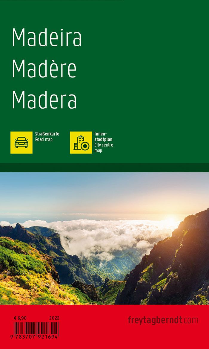
Madeira (Spain) Island Pocket Road Map by Freytag & Berndt
Madeira (Spain) Island Pocket Road Map by Freytag & Berndt
Couldn't load pickup availability
Share
Explore the wonders of Madeira with the Freytag & Berndt Pocket Road Map, scaled at 1:75,000 for crisp, accurate navigation across this Portuguese island paradise. From the rugged cliffs of Cabo Girão—one of the highest sea cliffs in Europe—to the enchanting Laurisilva Forest, a UNESCO World Heritage Site, and the colorful Mercado dos Lavradores in Funchal, this map helps you uncover it all.
The map includes five themed guides—shopping, restaurants, culture, nightlife, and sights—making it a smart choice for adventurers, foodies, and culture seekers alike. With an extensive road network, indexed cities, marked ferries, and distances clearly shown, it's ideal for road trippers in cars, campervans, or on motorcycles.
History lovers will appreciate knowing that Madeira was discovered by Portuguese explorers in the early 15th century and became an important port during the Age of Exploration. Whether you're chasing waterfalls or vinho, this map keeps you on track.
SKU: SKU:MAPFBMADEIRA
View full details