National Forest Service
Lower Deschutes & John Day Rivers Recreation Forest Service Map
Lower Deschutes & John Day Rivers Recreation Forest Service Map
Couldn't load pickup availability
Share
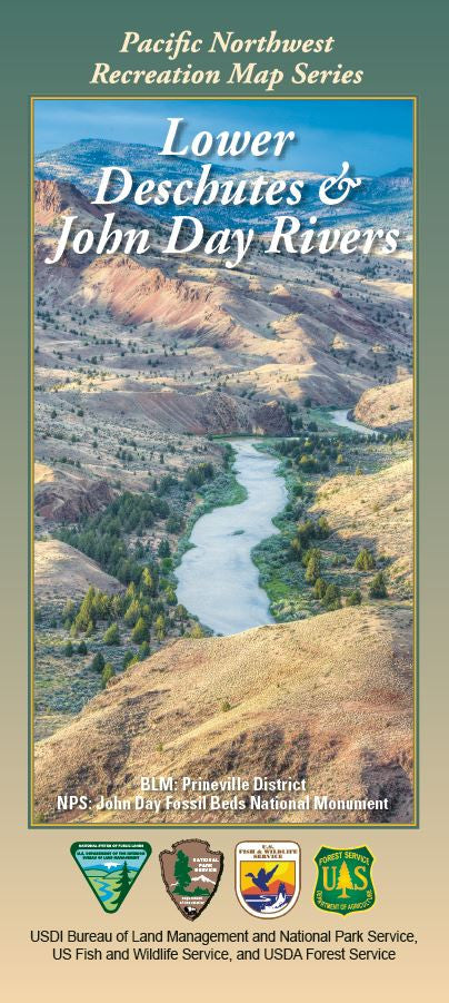
Discover the breathtaking beauty of Oregon with the Lower Deschutes & John Day Rivers Recreation Map. Nestled in central and northeast Oregon, the John Day River basin spans 8,100 square miles, home to one of the nation’s longest free-flowing rivers.
Explore the stunning 100-mile Wild and Scenic stretch below Pelton & Round Butte Dams, where dramatic rimrock canyons await. Must-see attractions include Cottonwood Canyon State Park, Clarno Unit Fossil Beds, and White River Falls. The region’s sagebrush, ponderosa pine, bighorn sheep, and golden eagles offer unforgettable wildlife encounters.
Rich in Native American and pioneer history, these rivers draw outdoor enthusiasts for rafting, fishing, hiking, and camping. Whether planning a weekend adventure or extended trip, this detailed map is your essential guide to experiencing Oregon’s wild heart.
- Waterproof Map
- 1/2" to the Mile
- Shaded Relief style map
SKU: SKU:NFORLDES
View full details