Rand McNally
Louisiana State Highway Folded Map by Rand McNally - Easy to Read
Louisiana State Highway Folded Map by Rand McNally - Easy to Read
Couldn't load pickup availability
Share
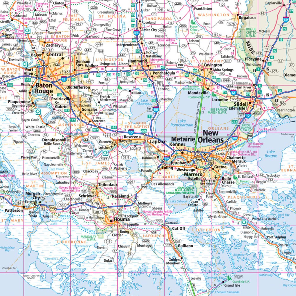
Hit the road in the Pelican State with the Louisiana State Highway Folded Map by Rand McNally, your ultimate travel sidekick for planning the perfect Louisiana adventure! Why trust online maps when you can have a crisp, full-color, easy-to-read paper map that shows every twist and turn of Louisiana’s highways, streets, and backroads? From Interstates to county routes, parks to airports, this map makes finding your way a breeze.
With its handy legend and detailed index, pinpointing attractions—like the hidden gem of Avery Island, home to the world-famous Tabasco factory—is effortless. Regularly updated for accuracy, this map includes driving times, mileage, and county boundaries, giving you the ultimate road-trip advantage. Perfectly sized to tuck in your glove box or backpack, the Louisiana State Highway Folded Map delivers unbeatable reliability and clarity at a price that won’t slow you down. Ready, set, explore!
SKU: SKU:RMCUSLA
View full details