National Forest Service
Los Padres NF - Ventana & Silver Peak Wildernesses Forest Service Map
Los Padres NF - Ventana & Silver Peak Wildernesses Forest Service Map
Couldn't load pickup availability
Share
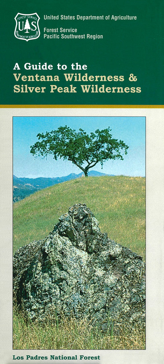
Explore California’s rugged Big Sur backcountry with the Ventana & Silver Peak Wildernesses National Forest Service Map. Located along the central coast in Los Padres National Forest, these two wilderness areas span over 240,000 acres of dramatic ridgelines, redwood groves, and remote canyons.
Popular destinations include the iconic Pine Ridge Trail, the panoramic summit of Cone Peak (nicknamed the “Yosemite of the Coast”), and the serene Salmon Creek Falls. Hikers and backpackers may spot black-tailed deer, California condors, or elusive bobcats among forests of madrone, oak, and towering coastal redwoods. Originally protected in 1969, this wild region is steeped in Native American and homesteading history.
Whether you're navigating steep trails or soaking in hidden hot springs, this waterproof topographic map (with lat/long and UTM grids) is your essential companion for adventure in one of California’s most breathtaking and biodiverse wilderness areas. Get outside and discover Big Sur’s untamed heart.
- Waterproof Map
- 1" to the Mile
- Topographic Contour Interval of 200 ft
SKU: SKU:NFCAV
View full details