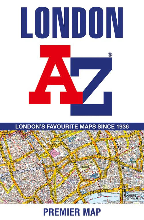
A-Z Maps
London Premier City Street Map by A-Z Maps
London Premier City Street Map by A-Z Maps
Couldn't load pickup availability
Share
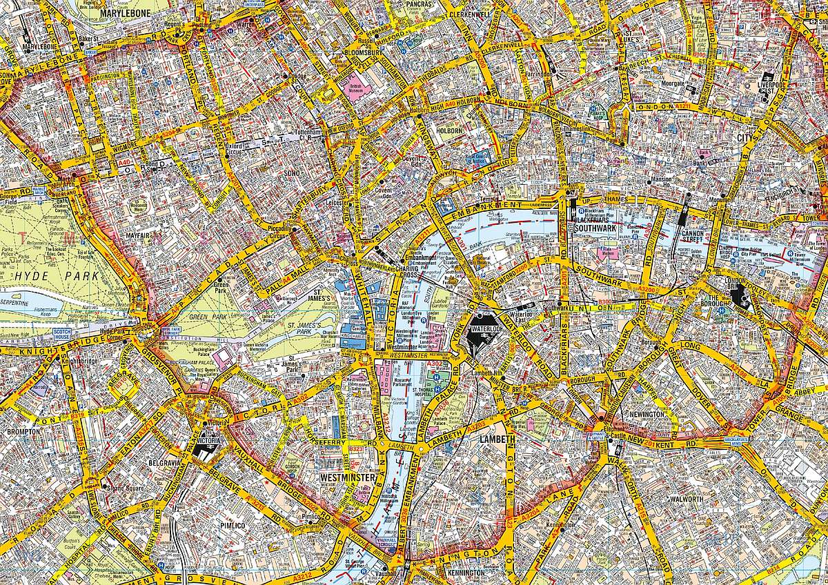
Navigate London like a pro with the iconic A-Z Premier Map from A-Z Maps. This full-color, single-sided fold-out street map covers a vibrant six-mile radius from Charing Cross, stretching as far as Wembley Stadium, the leafy heights of Muswell Hill, the historic runways of London City Airport, and the scenic greenery of Crystal Palace.
Whether you're hunting down hidden treasures near the British Museum, catching a show in the West End, or exploring the markets around Tower Bridge, this map keeps you confidently on course. The attached booklet includes an extensive index of over 40,000 streets plus handy listings for landmarks, walkways, hospitals, and more. You'll also find postcode districts, one-way streets, the congestion charge zone, and the ULEZ boundary clearly marked.
And when it's time to hop on the Tube, a separate and current TfL underground map has you covered. Fold it, carry it, and make London yours.
SKU: SKU:MAPAZMLONDONPR
View full details