National Forest Service
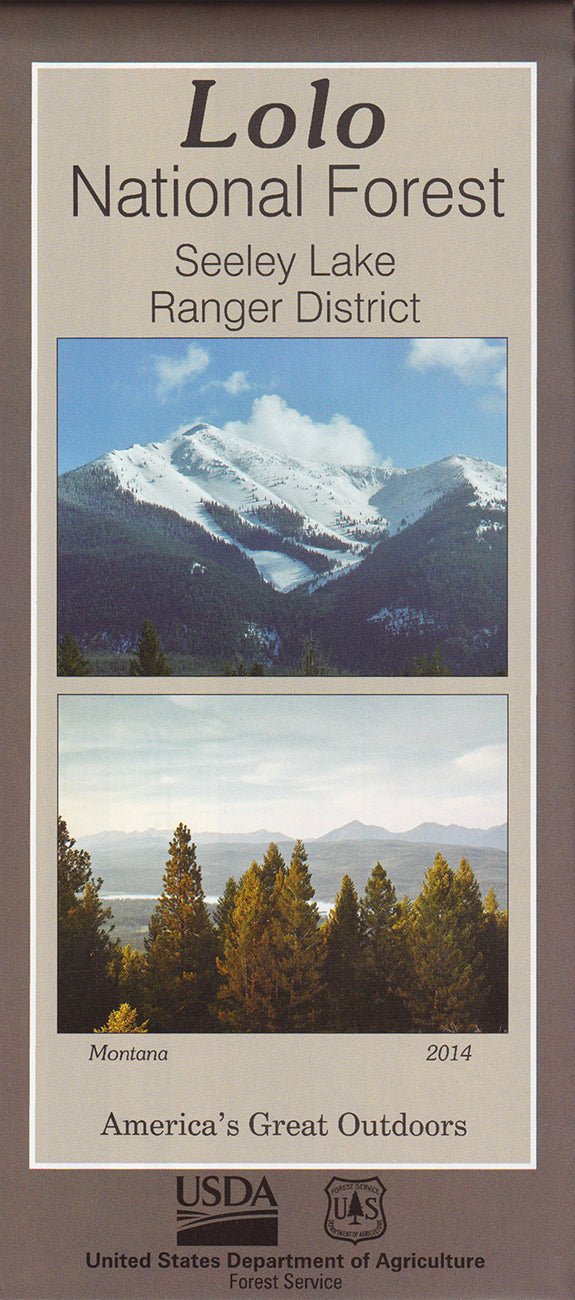
Lolo National Forest - Seeley Lake Ranger District Forest Service Map
Lolo National Forest - Seeley Lake Ranger District Forest Service Map
Couldn't load pickup availability
Share
Discover the wild beauty of Montana’s Seeley Lake Ranger District with this detailed U.S. Forest Service Map. Nestled within the sprawling 1.6-million-acre Lolo National Forest, Seeley Lake offers endless outdoor adventures.
Hike the lush trails of Morrell Falls National Recreation Trail, paddle the crystal waters of Seeley Lake, or explore the scenic Clearwater Canoe Trail. The region teems with wildlife—keep an eye out for elk, black bears, bald eagles, and vibrant wildflowers like beargrass and lupine. Rich in history, the area was once a vital corridor for Indigenous peoples and early trappers.
Located in western Montana, north of Missoula, Seeley Lake invites visitors year-round. Whether you’re planning a backcountry trek or a weekend getaway, this map is your key to unforgettable experiences. Embrace the adventure—plan your visit today!
SKU: SKU:NFMTLSWP
View full details


