National Forest Service
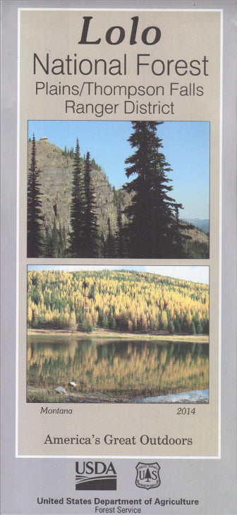
Lolo National Forest - Plains/Thompson Falls Ranger District USFS Map
Lolo National Forest - Plains/Thompson Falls Ranger District USFS Map
Couldn't load pickup availability
Share
Discover Montana’s stunning Plains/Thompson Falls Ranger District with the official U.S. Forest Service Map. Nestled in the northern Rocky Mountains near the Idaho border, this expansive district spans over 460,000 acres of the Lolo National Forest.
Explore popular attractions like Thompson Falls State Park, the majestic Cabinet Mountains Wilderness, and the historic Thompson River. Towering ponderosa pines, vibrant wildflowers, and crystal-clear streams provide a rich habitat for elk, black bears, bald eagles, and countless songbirds. Rooted in a legacy of timber and railroads, the area today invites visitors to hike, fish, camp, and simply soak in the beauty.
Whether you’re a seasoned adventurer or a casual traveler, this detailed map is your key to navigating trails, peaks, and scenic byways. Plan your visit today and experience the wild charm of western Montana!
- Waterproof Map
- Topographic Lines with 100 ft Contour Interval
- 1" to the Mile
SKU: SKU:NFMTLP
View full details


