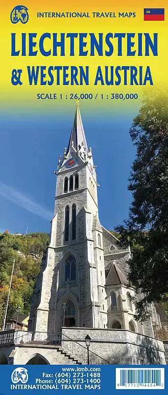
International Travel Maps
Liechtenstein & Western Austria Travel Map
Liechtenstein & Western Austria Travel Map
Couldn't load pickup availability
Share
Introducing the Liechtenstein Travel Map, a versatile and comprehensive folded map that unfolds into a detailed exploration of the charming principality of Liechtenstein on one side and opens up to reveal the captivating regions of Western Austria and Southeast Germany on the flip side. In a world peppered with independent mini-states, Liechtenstein stands out, nestled between Switzerland to the west and south, and Austria on its other borders, existing as a testament to history and fiercely guarding its autonomy.
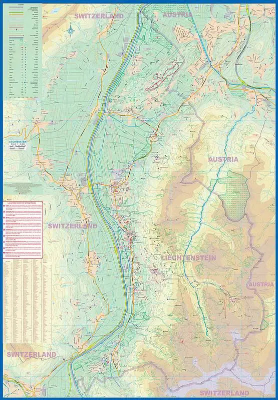
Side 1 of the Liechtenstein Travel Map unveils the intricacies of this diverse country. Bordered the Rhine River to the west, which meanders alongside a slice of Switzerland, and Austria to the east, Liechtenstein surprises with its size and allure. The Rhine Valley dominates the north-south axis of development, with Vaduz, the capital city, taking center stage. The map meticulously highlights five entry points from Switzerland, one from the south, and two from Austria in the north. Ski enthusiasts will appreciate the prominence given to the winter haven of Malbun, and the map's scale goes beyond the ordinary, naming major streets and featuring essential landmarks like schools, shopping areas, post offices, churches, and a plethora of dining options. Walking and hiking trails are thoughtfully integrated, inviting exploration of Liechtenstein's natural beauty.
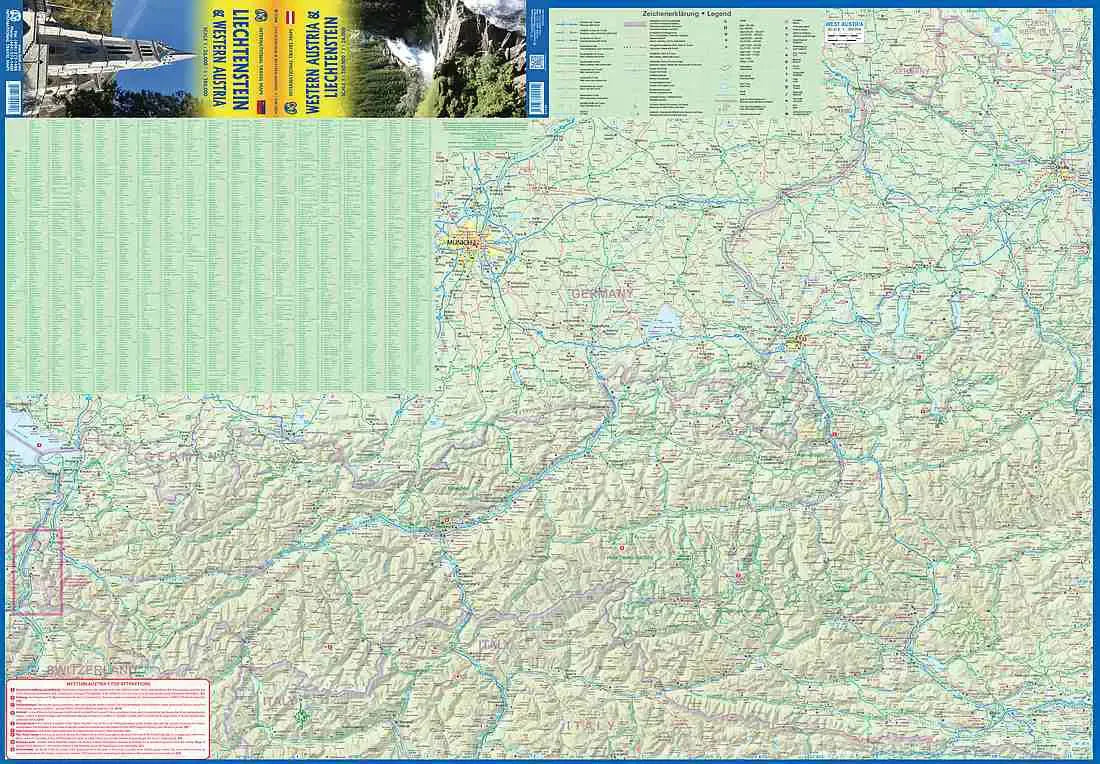
Side 2 shifts focus to Western Austria and Southern Germany, spanning from Lake Boden (Bodensee) to Linz and from the Italian border to Passau in Germany. It serves as both a road/rail map and a physical relief map of the Alps, offering a gateway to the majestic mountainous landscapes south of Innsbruck and the discovery of quaint villages in the Tirol region. The Top Attractions list enriches the exploration experience, guiding travelers to noteworthy sites.
SKU: SKU:ITMLIECH
View full details