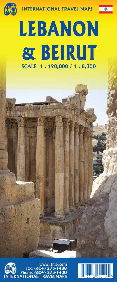
International Travel Maps
Lebanon & Beirut Travel & Reference Map by ITMB
Lebanon & Beirut Travel & Reference Map by ITMB
Couldn't load pickup availability
Share
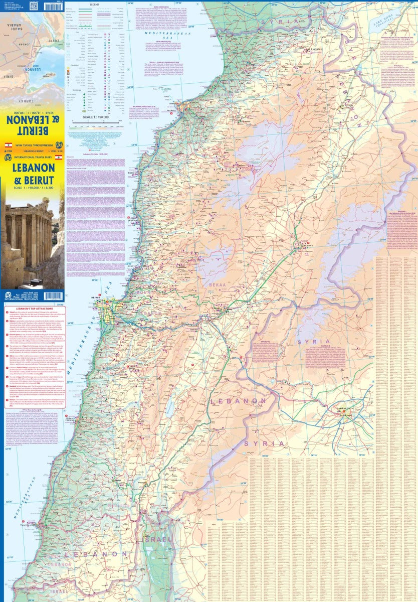
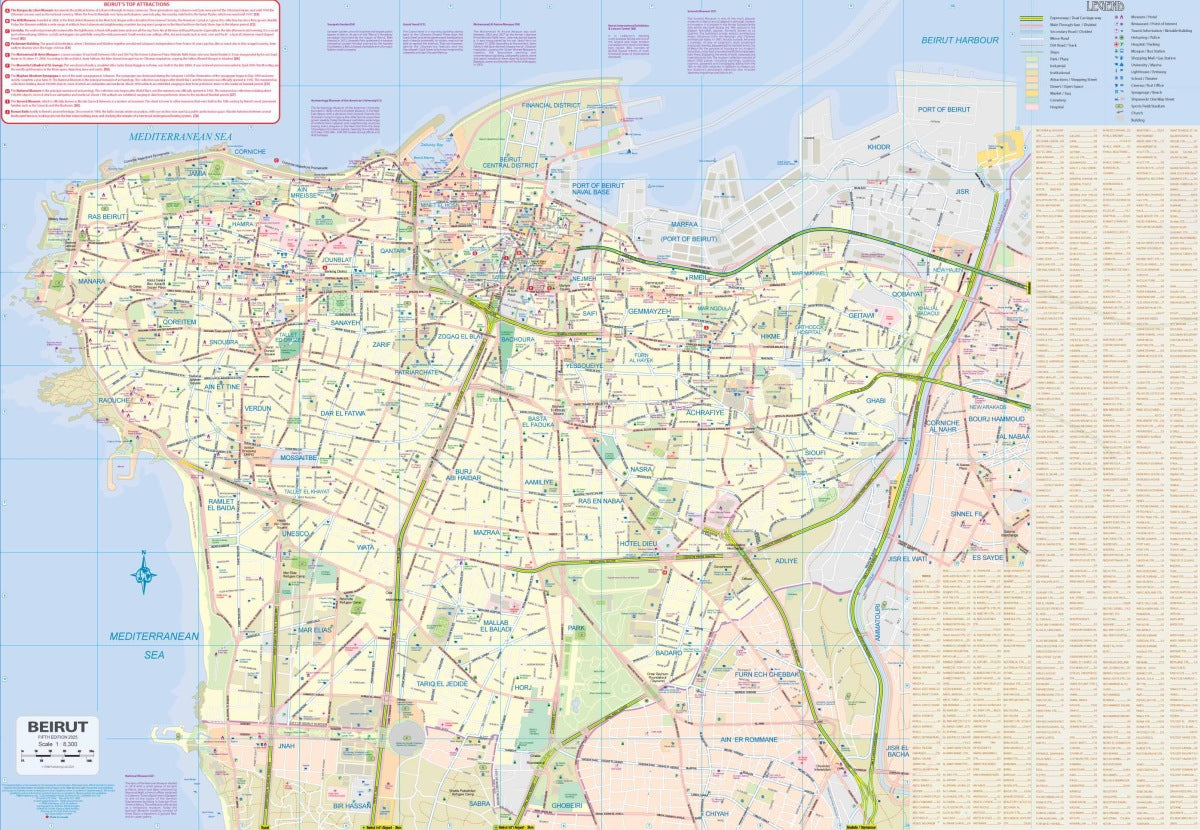
Discover the beauty, history, and culture of Lebanon with the double-sided, folded Lebanon & Beirut Travel & Reference Map by ITMB. One side displays the entire country at a 1:190,000 scale, while the reverse offers a detailed 1:8,300 street map of Beirut, one of the world’s oldest cities.
From the awe-inspiring Roman ruins of Baalbek, a UNESCO World Heritage site once known as Heliopolis, to the ancient harbor city of Byblos, continuously inhabited for over 7,000 years, this map helps travelers unlock Lebanon’s extraordinary past and present. In Tripoli, explore the Crusader citadel dating back to 1100 AD and admire the Great Mosque, while the timeless Cedars of God offer a breathtaking glimpse of trees over 1,500 years old.
The map includes roads by classification, rivers, lakes, airports, national parks, and countless points of interest, making it an essential tool for both planning and exploring this remarkable country.
SKU: SKU:ITMLEB
View full details