National Geographic
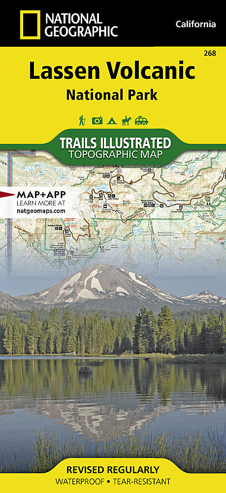
Lassen Volcanic National Park Trails Illustrated Topographic Map #268
Lassen Volcanic National Park Trails Illustrated Topographic Map #268
Couldn't load pickup availability
Share
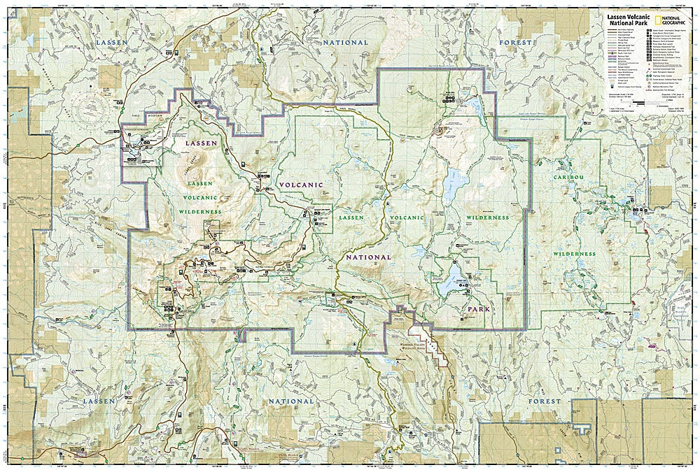
Get ready to explore one of the most geologically unique parks on the planet! The Lassen Volcanic National Park Trails Illustrated Topographic Map #268 by National Geographic is your ultimate hiking companion for discovering northern California’s volcanic wonders. Stand in awe at Lassen Peak, wander around the steaming Cinder Cone, and paddle the crystal-clear waters of Manzanita Lake—all with expert trail guidance at your fingertips.
This map covers over 150 miles of trails, including sections of the Pacific Crest Trail and the historic California National Historic Trail, with clear mileage markers, trail use designations, and key points of interest. Hike through lush forests, volcanic landscapes, and pristine lakes while learning about the park’s fascinating history and hydrothermal features.
Printed on waterproof, tear-resistant “Backcountry Tough” paper with full GPS-ready UTM grids, this map ensures you stay on track from Lassen Volcanic’s rugged peaks to scenic byways. Adventure awaits—don’t leave home without it!
SKU: SKU:TRA268
View full details