NOAA
Lake Washington, Lake WA Ship Canal & Lake Union Nautical Chart #18447
Lake Washington, Lake WA Ship Canal & Lake Union Nautical Chart #18447
Couldn't load pickup availability
Share
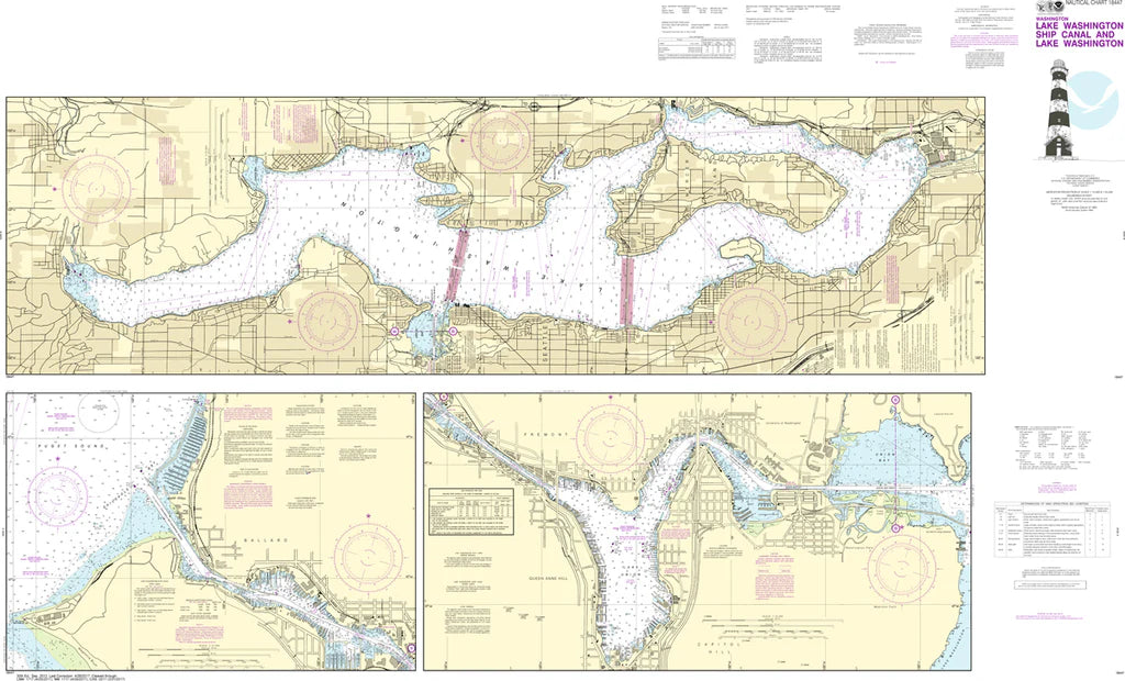
Discover Seattle's legendary waterways like never before with the Lake Washington, Lake WA Ship Canal & Lake Union Nautical Chart #18447! Whether you're a boating enthusiast, maritime history buff, or searching for the perfect wall display, this impressive chart brings one of the Pacific Northwest's busiest boating regions to life.
Covering beautiful Lake Washington, the bustling Lake Washington Ship Canal, vibrant Lake Union, Portage Bay, Union Bay, Salmon Bay, Fremont, Ballard, and the famous Hiram M. Chittenden Locks, this detailed nautical chart showcases the heart of Seattle's interconnected waterways. Printed at a generous 59" x 41" with a precise 1:10,000 scale, it reveals marinas, channels, shorelines, navigation features, and waterfront landmarks in remarkable detail.
One fascinating piece of history: when the Lake Washington Ship Canal opened in 1917, Lake Washington dropped nearly nine feet, forever transforming Seattle's waterfront and creating the thriving waterways enjoyed today.
(View more detail in nautical chart viewer)
Please note: For decorative and reference purposes only, NOAA has officially sunset traditional paper nautical charts. These legacy charts are no longer updated or approved for primary navigation.
SKU: SKU:NOS18447
View full details