National Geographic
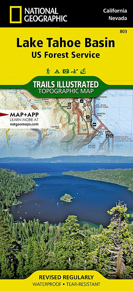
Lake Tahoe Basin Trails Illustrated Topographic Map #803
Lake Tahoe Basin Trails Illustrated Topographic Map #803
Couldn't load pickup availability
Share
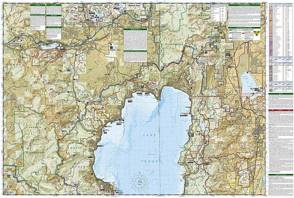
Dive into adventure with the Lake Tahoe Basin Trails Illustrated Topographic Map #803 by National Geographic! Perfect for hikers, backpackers, and outdoor enthusiasts, this map unlocks the stunning Sierra Nevada region surrounding North America’s largest alpine lake. Explore iconic destinations like Emerald Bay State Park, the Desolation Wilderness, and Mount Rose Wilderness, all detailed with trails, elevations, and scenic highlights. Rich in history, the area features the Donner Memorial State Park, commemorating the infamous 1846 Donner Party, and the old logging routes that shaped Tahoe’s development.
National Geographic’s map is crafted with precision in partnership with local land management agencies, showing the Pacific Crest and Tahoe Rim Trails, campgrounds, trailheads, lakes, and even scuba diving access. Printed on waterproof, tear-resistant “Backcountry Tough” paper with UTM grids for GPS navigation, it’s the ultimate companion for year-round outdoor adventures, whether hiking, horseback riding, or hitting the slopes.
SKU: SKU:TRA803
View full details