1
/
of
2
National Geographic
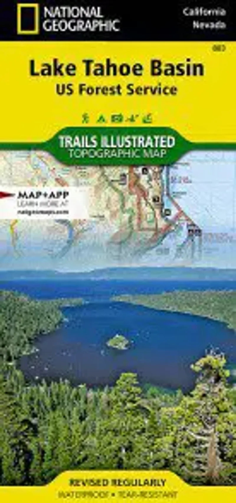
Lake Tahoe Basin Map
Lake Tahoe Basin Map
Regular price
$14.95 USD
Regular price
Sale price
$14.95 USD
Unit price
/
per
Couldn't load pickup availability
Share
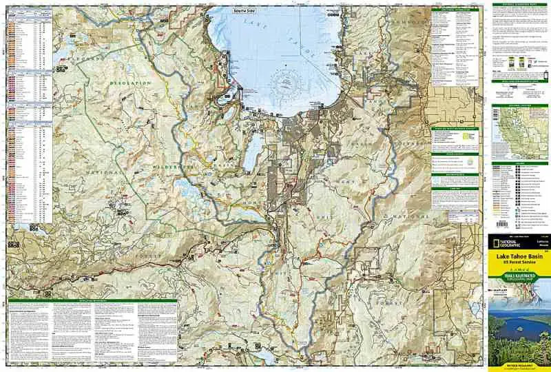
This detailed Trails Illustrated topographic hiking map of the Lake Tahoe Basin is sure to be a must have for visitors to the area. Trails are classified by use - hiking, horse and hike, mountain bike, shared use, or motorized - and includes a trail chart showing trail name, location, and allowed use.
Coverage includes: Lake Tahoe Basin Management Unit; Eldorado, Humboldt-Toiyabe and Tahoe National Forests; Desolation and Mt. Rose Wilderness Areas; Pacific Crest National Scenic and Rubicon OHV Trails; Emerald Bay, Burton Creek, Donner Memorial, Lake Tahoe Nevada, and Washoe Lake state parks; Mt. Tallac; Tahoe City, Homewood, Tahoma, South Lake Tahoe, Carson City, and much more.