WoodChart
Lake Erie Wood Chart
Lake Erie Wood Chart
Couldn't load pickup availability
Share
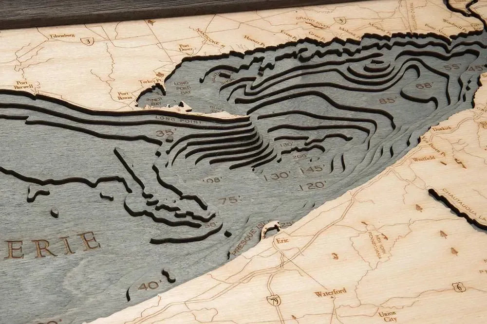
Lake Erie 3D Wood Chart: Immerse yourself in the captivating history and geography of Lake Erie with this beautifully crafted 3D Wood Chart. The fourth-largest of the Great Lakes, Lake Erie is renowned for its stunning coastlines, vital waterways, and rich historical significance. Stretching from the bustling cities of Detroit and Cleveland to the natural beauty of Presque Isle and Long Point, Lake Erie has played a crucial role in the development of the United States and Canada. Known as the "Walleye Capital of the World," it is also famous for its fishing, boating, and stunning views. This chart artfully captures the depth, shape, and intricacies of this iconic lake, making it a must-have for anyone who cherishes the Great Lakes region.
Lake Erie 3D Wood Chart points of interest include: the vibrant cities of Ann Arbor, Buffalo, Cleveland, and Detroit; the thrilling amusement park of Cedar Point; the serene shores of Lake St. Clair; the powerful Niagara River; the peaceful retreat of Presque Isle; the charming town of Sandusky; the bustling port city of Toledo; the pristine natural beauty of Long Point, and the cultural richness of Windsor, Ontario. Each of these locations holds a unique story, contributing to the diverse tapestry of Lake Erie's shoreline.
Lake Erie Nautical Wood Chart color options: are available to complement your decor. Choose between a Dark Brown Frame with Greenish Blue Water for a classic, earthy feel, or a Rustic Grey Frame with Greyish Blue Water for a more contemporary, coastal vibe. Both options highlight the natural beauty of Lake Erie and its surrounding areas.
SKU: SKU:MINLE
View full details