International Travel Maps
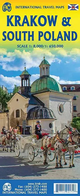
Krakow & South Poland Travel Map
Krakow & South Poland Travel Map
Couldn't load pickup availability
Share
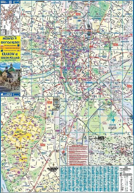
Discover the enchanting city of Krakow with this ITMB folded Travel Map of Krakow, featuring a detailed scale of 1:8,000. This Krakow Travel Map guides you through the medieval heart of Krakow, showcasing its historical treasures. Wander through the pedestrian-friendly old town, framed the impressive walled fortress of Wawel, a UNESCO World Heritage site. Here, history comes alive with landmarks such as the 16th-century Cloth Hall and the awe-inspiring 14th-century cathedral located at Rynek Glowny, Europe’s largest central square.
Just a short distance from the city, delve into the depths of the Wieliczka Salt Mine, another UNESCO World Heritage site. This subterranean wonder offers a labyrinth of tunnels and chambers carved entirely out of salt. Also nearby is the serene Tyniec Abbey, an 11th-century monastery perched on the banks of the Vistula River, offering a peaceful retreat with stunning views.
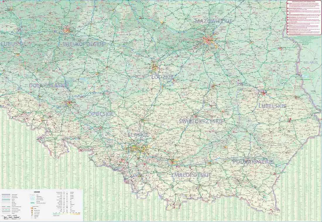
Flip the Krakow Travel Map over to explore the broader region of South Poland at a scale of 1:650,000. This side extends from the bustling capital, Warsaw, to the scenic Carpathian Mountains. Traverse through Poland’s hidden gems, including the picturesque villages and ancient towns like Zamosc, renowned for its Renaissance architecture and listed as a UNESCO World Heritage site. Other regional highlights include the chalk tunnels of Chelm, the poignant Martyr’s Clock in Lublin, and the majestic Bishop's Palace in Kielce.
SKU: SKU:ITMKRAKOW
View full details