Tom Harrison Maps
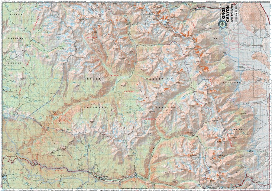
Kings Canyon High Country Hiking Map by Tom Harrison
Kings Canyon High Country Hiking Map by Tom Harrison
Couldn't load pickup availability
Share
Explore the breathtaking wilderness of California’s Sierra Nevada with the Kings Canyon High Country Hiking Map by Tom Harrison! From sparkling alpine lakes to rugged mountain passes, this detailed hiking map is your essential companion for planning unforgettable backcountry adventures.
Covering Kings Canyon National Park and portions of Sierra and Inyo National Forests, this hiking map spans from Kearsarge Pass to Bishop Pass, with western access from Roads End. Follow legendary routes like the Pacific Crest Trail (PCT) and John Muir Trail (JMT), including the spectacular Rae Lakes Loop and challenging ascent over Mather Pass.
Discover granite peaks, wildflower-filled meadows, lodgepole pines, and crystal-clear streams while watching for mule deer, marmots, pikas, and black bears. With 80-foot contour intervals, trail mileage, elevation points, trailheads, campgrounds, ranger stations, bear boxes, and more, the Kings Canyon High Country Hiking Map delivers reliable detail for navigating the Sierra’s magnificent backcountry.
Scale: 1:63,360. Pack this map and let the adventure begin!
SKU: SKU:HARKINGSHIGH
View full details