DeLorme
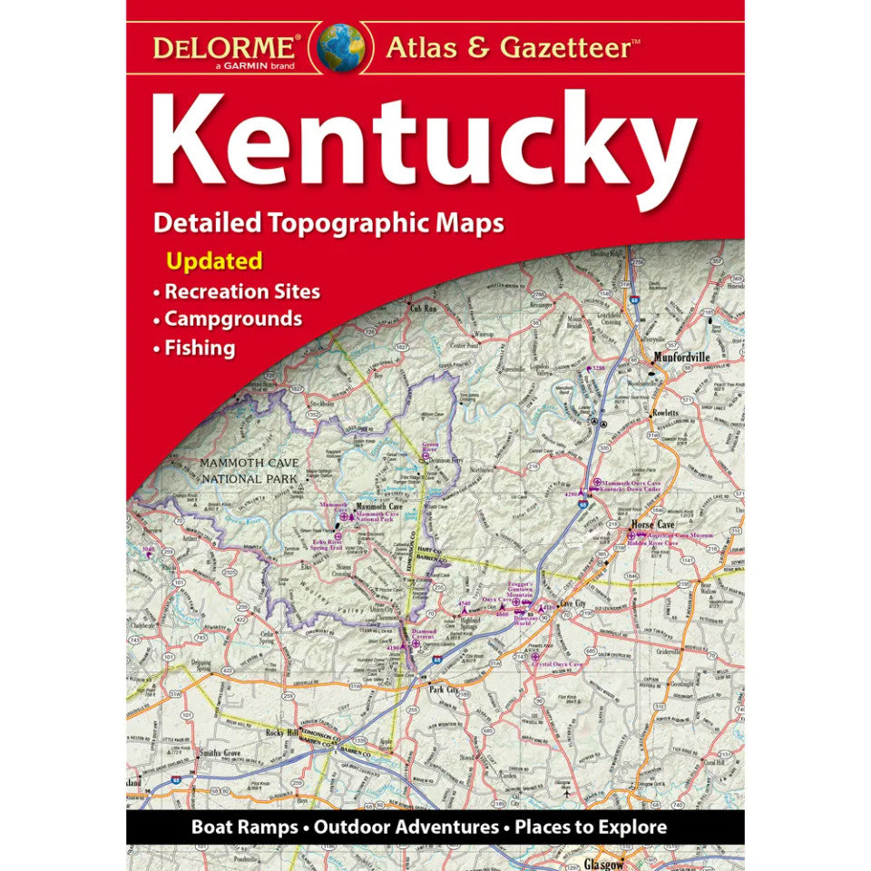
Kentucky Topographic Atlas & Gazetteer by DeLorme
Kentucky Topographic Atlas & Gazetteer by DeLorme
Couldn't load pickup availability
Share
Find your next trail, secret fishing hole, or scenic backroad in the Bluegrass State! The Kentucky Topographic Atlas & Gazetteer by DeLorme turns outdoor curiosity into an adventure worth taking.
Forget squinting at your phone or wrestling with a folded map! This handy, book-bound atlas keeps Kentucky’s backroads and recreational treasures organized, easy to browse, and ready to reference—even when cell service disappears. Its 49 pages of full-color topographic maps reveal a wealth of detail, from towns and historic sites to scenic drives, hiking trailheads, boat ramps, and prime fishing spots.
Explore the spectacular underground chambers of Mammoth Cave National Park, then head for the waterfalls and forested trails of Cumberland Falls State Resort Park or the rugged gorges of Red River Gorge. Kentucky’s outdoor playground is packed with opportunities for hiking, camping, paddling, fishing, and spontaneous road trips.
An extensive index makes finding locations easy, while a latitude/longitude grid helps you navigate with GPS. Convenient inset maps highlight major cities and state lands, too.
SKU: SKU:DELKY
View full details