Rand McNally
Kentucky State Highway Folded Map by Rand McNally - Easy to Read
Kentucky State Highway Folded Map by Rand McNally - Easy to Read
Couldn't load pickup availability
Share
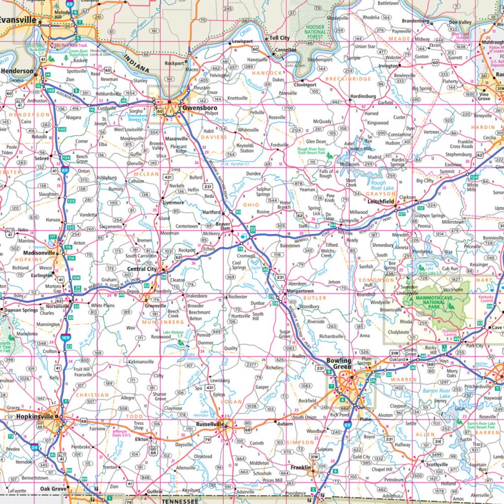
Hit the road and explore the Bluegrass State like a true Kentucky adventurer with the Kentucky State Highway Folded Map by Rand McNally! Perfect for planning scenic drives, weekend getaways, or cross-state road trips, this map gives you the power to navigate with confidence—no battery required. Skip the frustrations of online maps and enjoy full-color, easy-to-read cartography that highlights every Interstate, U.S., state, and county highway, plus airports, parks, county lines, and must-see points of interest.
Discover hidden gems like the quirky and charming Ark Encounter in Williamstown—a lesser-known stop that’s perfect for an unforgettable detour. The map’s clear legend, detailed index, and larger type size make finding destinations quick and hassle-free. Regularly updated and conveniently folded, this Rand McNally map is your ultimate travel companion for exploring Kentucky’s rolling hills, historic towns, and backroads with ease and style.
SKU: SKU:RMCUSKY
View full details