National Geographic
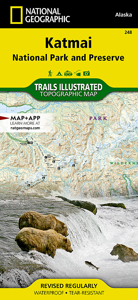
Katmai National Park Trails Illustrated Topographic Map #248
Katmai National Park Trails Illustrated Topographic Map #248
Couldn't load pickup availability
Share
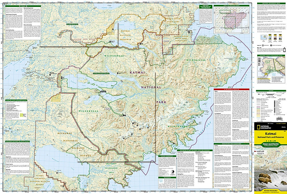
Lace up your boots and get ready for wild adventure—Katmai National Park is calling! Home to the world-famous Brooks Falls, where brown bears fish for salmon, this rugged slice of the Alaska Peninsula is pure hiker heaven. With the Katmai National Park Trails Illustrated Topographic Map #248 by National Geographic in hand, you’ll be set to explore iconic attractions like the steaming Valley of Ten Thousand Smokes, the wild Alagnak River, and the pristine Shelikof Strait coastline.
Created in cooperation with the National Park Service, this map goes beyond trails—highlighting seaplane bases, primitive routes, backcountry camps, and ranger stations to keep your trek safe and memorable. Katmai’s history as the site of the 1912 Novarupta eruption, the largest volcanic blast of the 20th century, makes every step a walk through living geology. Printed on waterproof, tear-resistant paper, this map is as tough as the wilderness itself—your ultimate guide to bear country adventure.
SKU: SKU:TRA248
View full details