DeLorme
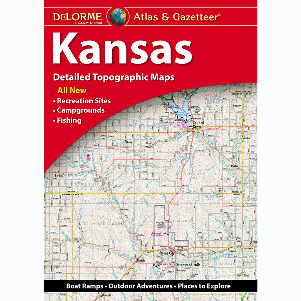
Kansas Topographic Atlas & Gazetteer by DeLorme
Kansas Topographic Atlas & Gazetteer by DeLorme
Couldn't load pickup availability
Share
Hit the trails, chase hidden fishing holes, and discover a wilder side of the Sunflower State! The Kansas Topographic Atlas & Gazetteer by DeLorme turns your next road trip or outdoor escape into an adventure worth mapping.
Forget spotty cell service, tiny phone screens, and bulky folded maps that never refold quite right! This handy, book-bound atlas gives you 65 pages of full-color topographic detail you can flip through, compare, and reference wherever the road leads. Explore scenic backroads, historic sites, trailheads, boat ramps, recreation areas, and prime fishing spots across Kansas.
Head to Clinton State Park near Lawrence for hiking, biking, and lakeside fun, or explore the rugged trails and dramatic rock formations of Mushroom Rock State Park, one of Kansas’s most distinctive outdoor destinations. From rolling prairie and wooded river valleys to wide-open countryside, the Sunflower State offers plenty of surprises beyond the highway.
An extensive index, latitude/longitude grid for GPS navigation, major-city insets, and state-land maps make trip planning easier. Whether you’re hiking, camping, fishing, or exploring backroads, this DeLorme Kansas Topographic Atlas & Gazetteer is your go-to guide for finding adventure off the beaten path!
SKU: SKU:DELKS
View full details