Rand McNally
Kansas State Highway Folded Map by Rand McNally - Easy to Read
Kansas State Highway Folded Map by Rand McNally - Easy to Read
Couldn't load pickup availability
Share
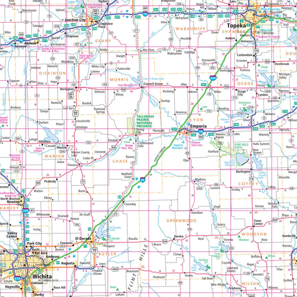
Hit the open road across the Sunflower State with the Kansas State Highway Folded Map by Rand McNally! Perfect for planning your next adventure, this map helps you navigate Kansas’ highways, backroads, and hidden gems without relying on spotty cell service. Discover everything from bustling cities to quiet escapes like the lesser-known Mushroom Rock State Park—an absolute must-see for curious road trippers.
Rand McNally’s Easy to Read map delivers precise, up-to-date cartography with clearly labeled Interstates, U.S., state, and county highways, plus parks, airports, points of interest, and county boundaries. The full-color, large-format map features a handy legend, detailed index, mileage markers, and driving times, making trip planning fast, simple, and stress-free. Its convenient folded size means you can toss it in your glove box or backpack for spontaneous adventures.
Whether mapping out weekend getaways or cross-state journeys, this Kansas road map turns every drive into a seamless and scenic adventure.
SKU: SKU:RMCUSKS
View full details