Rand McNally
Kansas & Nebraska State Highway Laminated Map by Rand McNally
Kansas & Nebraska State Highway Laminated Map by Rand McNally
Couldn't load pickup availability
Share
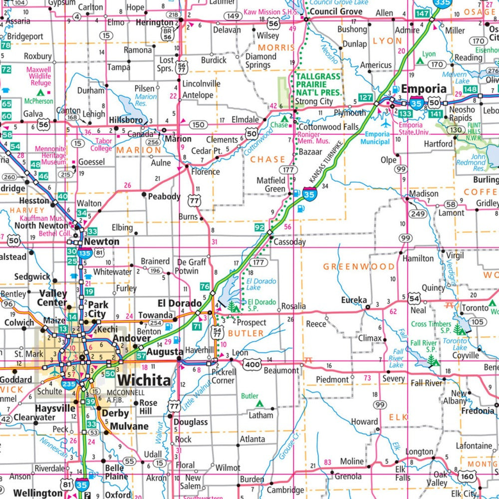
Discover smoother travels from the first mile with the Kansas & Nebraska State Highway Laminated Map by Rand McNally. This easy-to-fold, road-trip-ready map hooks you right away with its durability, clarity, and wipe-clean convenience—perfect for planning routes, marking stops, and updating plans as you go. With over 700 miles stretching across Kansas alone, having a reliable, reusable map keeps your journey efficient and stress-free.
The heavy-duty lamination shrugs off wear and tear, folds neatly without the usual fumbling, and reveals crisp, full-color cartography section by section. Highways, county lines, and points of interest are clearly marked, supported by a quick-reference legend and city index that make navigation effortless.
Along the way, don’t miss a lesser-known gem: Nebraska’s enchanting Toadstool Geologic Park—an unforgettable stop for geology lovers and road trippers alike. Whether you’re a local explorer or just passing through, this laminated guide is your go-anywhere travel essential.
SKU: SKU:RMCUSKSE
View full details