National Forest Service
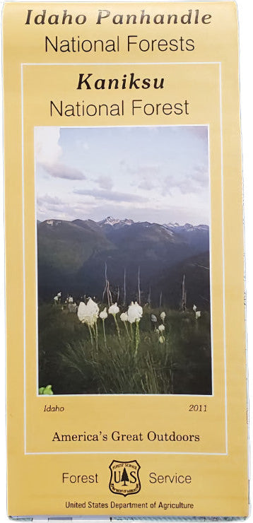
Kaniksu National Forest Service Map
Kaniksu National Forest Service Map
Couldn't load pickup availability
Share
Discover the wild beauty of northern Idaho with the Kaniksu National Forest Service Map. Spanning over 1.6 million acres, Kaniksu National Forest is a treasure of the Idaho Panhandle, bordering Montana and Washington.
Explore sparkling Lake Pend Oreille, serene Priest Lake, and the rugged Cabinet Mountains. Rich with towering western red cedars, lush huckleberry patches, and vibrant wildflowers, the forest teems with wildlife like elk, black bears, moose, and bald eagles. Established in 1908, Kaniksu’s history of conservation offers visitors endless opportunities for hiking, boating, fishing, and camping.
Whether you’re mapping out a backcountry trek or a scenic drive, this detailed map is your perfect guide. Plan your adventure today and experience the natural wonders of Kaniksu National Forest!
SKU: SKU:NFIDK
View full details


