National Geographic
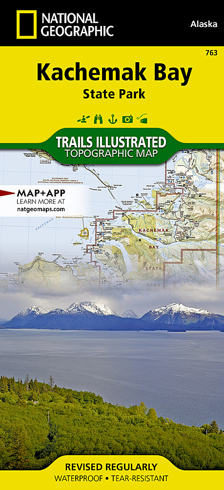
Kachemak Bay State Park Trails Illustrated Topographic Map #763
Kachemak Bay State Park Trails Illustrated Topographic Map #763
Couldn't load pickup availability
Share
Adventure starts where the road ends, and the Kachemak Bay State Park Trails Illustrated Map #763 by National Geographic is your ticket to exploring Alaska’s untamed beauty. Whether you’re trekking to the jaw-dropping Grewingk Glacier Lake, kayaking through Halibut Cove, or taking in panoramic views from Poot Peak, this waterproof, tear-resistant topo map keeps you on course.
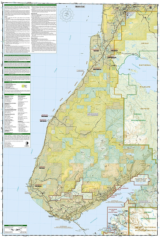
Covering the southwestern Kenai Peninsula, including Kachemak Bay State Park, Kenai Fjords, and the Sterling Highway to Homer, this map is packed with trail mileage markers, kayak landing sites, seaplane bases, and camping details. You’ll also find glaciers, summits, and wildlife-rich landscapes carefully marked for easy navigation.
Steeped in history as Alaska’s first state park, Kachemak Bay offers a blend of rugged wilderness and rich cultural past, making this map more than a tool—it’s a trusted adventure partner. Lightweight, tough, and GPS-ready, it’s built for every hiker’s pack.
SKU: SKU:TRA763
View full details