National Geographic
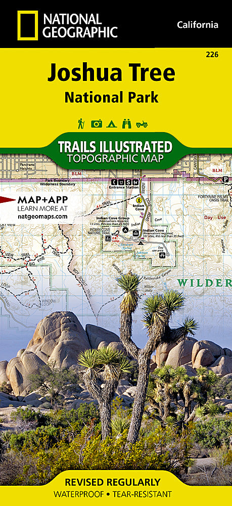
Joshua Tree National Park Trails Illustrated Topographic Map #226
Joshua Tree National Park Trails Illustrated Topographic Map #226
Couldn't load pickup availability
Share
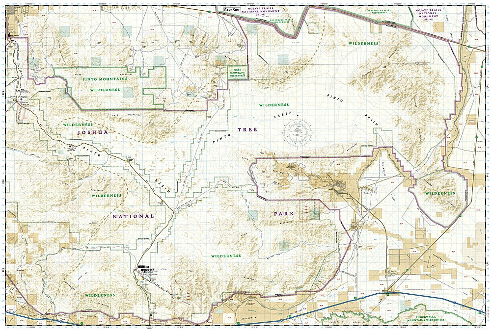
Get ready to explore one of California’s most iconic landscapes with the Joshua Tree National Park Trails Illustrated Topographic Map #226 by National Geographic! Perfect for hikers, climbers, and outdoor adventurers, this map is your ultimate guide to the park’s dramatic scenery where the Mojave and Colorado Deserts collide. Discover the towering boulders of Indian Cove, the historic mining ruins of Lost Horse Valley, and the serene beauty of Black Rock Canyon.
Delve into Joshua Tree’s fascinating history—from its Native American heritage to early 20th-century miners—and navigate its rugged terrain with ease using contour lines, elevations, and miles between trail intersections. Highlighted trails, campgrounds, picnic areas, and interpretive sites make planning your adventure effortless.
Printed on waterproof, tear-resistant “Backcountry Tough” paper with a full UTM grid for GPS navigation, this map is a must-have companion for exploring Joshua Tree safely and confidently while soaking in its surreal landscapes and unforgettable desert charm.
ArticlesSKU: SKU:TRA226
View full details