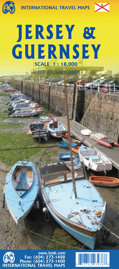
International Travel Maps
Jersey & Guernsey Travel & Reference Map
Jersey & Guernsey Travel & Reference Map
Couldn't load pickup availability
Share
Adventure awaits in the Channel Islands with ITMB’s double-sided Jersey & Guernsey Travel & Reference Map at 1:18,000 scale. Nestled just off the coast of Normandy, these islands are Britain’s last hold on historic Norman soil—still under the crown of King Charles III, the Duke of Normandy himself.
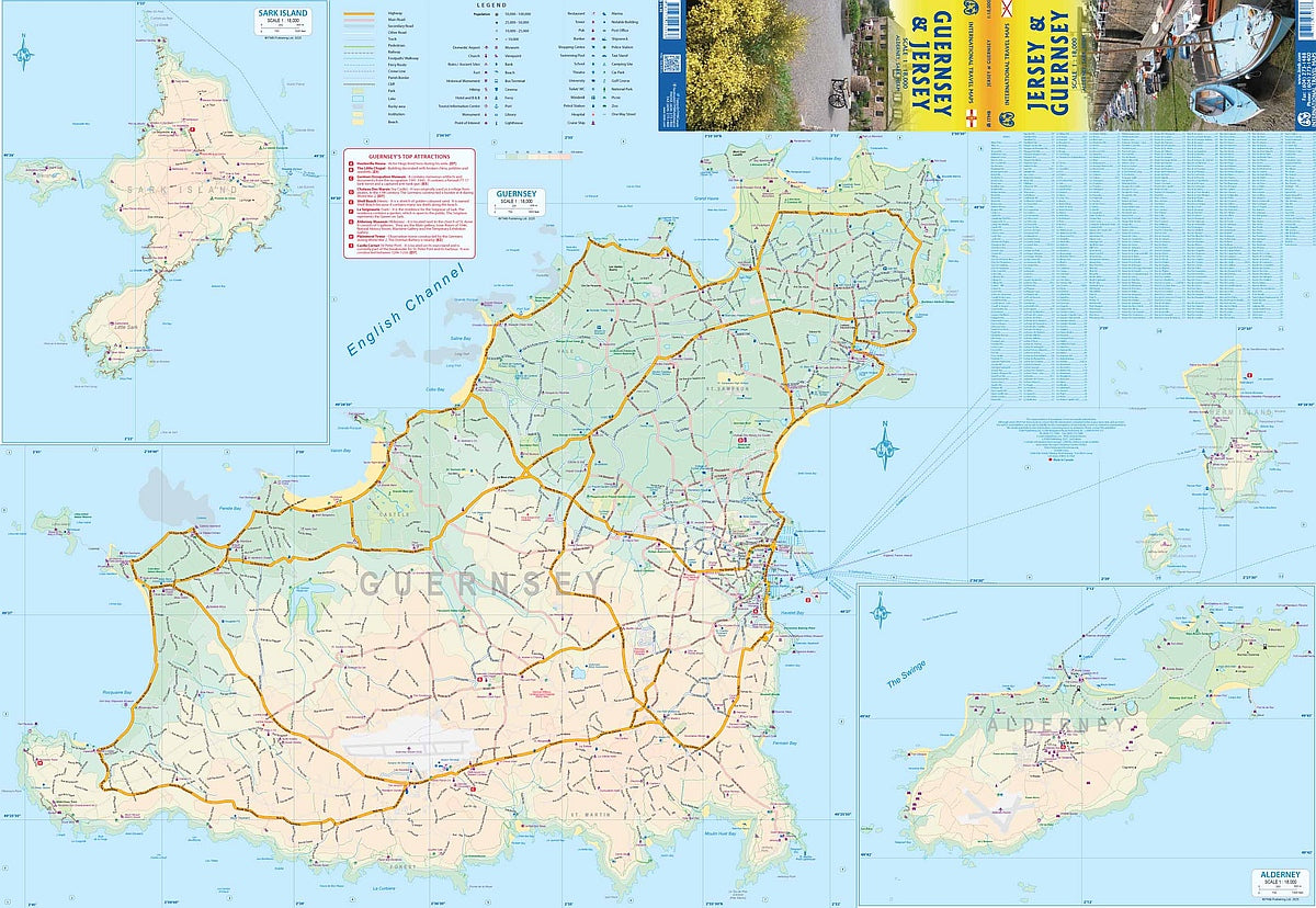
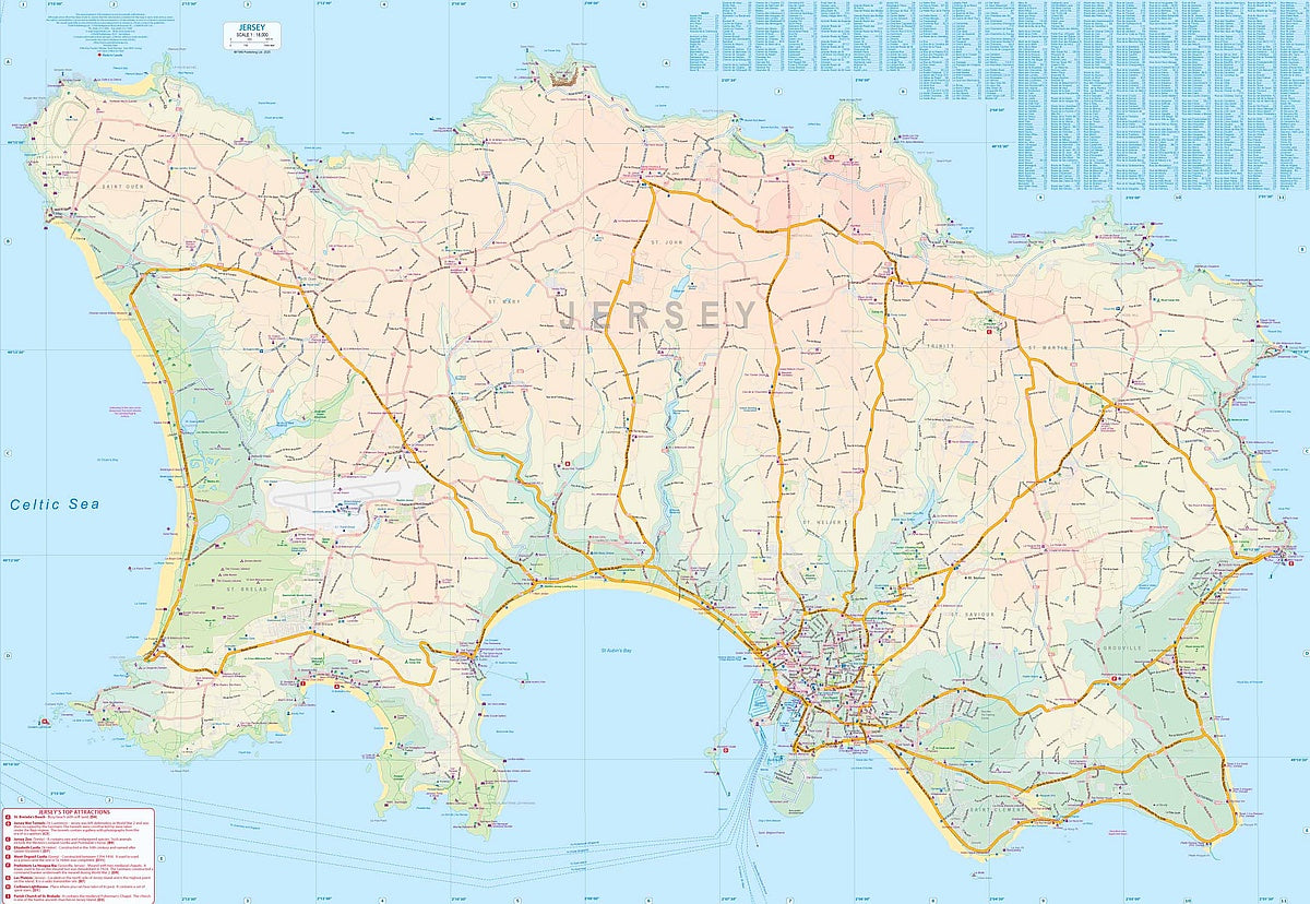
This handy, folded map brings Jersey to life on one side, highlighting bustling Saint Helier, the stunning cliffs of La Corbière, and the golden sands of St. Brelade’s Bay. Flip it over for Guernsey, where charming Saint Peter Port, Castle Cornet, and the coastal paths around Petit Bot Bay beckon exploration.
Every road, path, and scenic detour is clearly marked, from highways to hidden lanes. With its compact 27" x 39" format, this map slips easily into your bag while revealing every detail, including rivers, points of interest, national parks, and more. It’s your perfect companion for discovering the secrets of these timeless isles.
SKU: SKU:ITMJERGUE
View full details