National Geographic
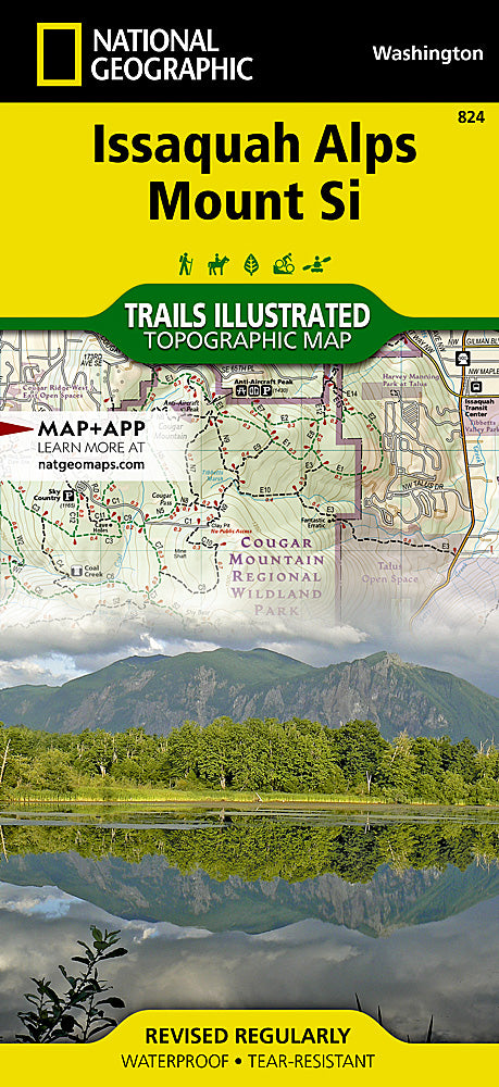
Issaquah Alps & Mt Si Trails Illustrated Topographic Map #824
Issaquah Alps & Mt Si Trails Illustrated Topographic Map #824
Couldn't load pickup availability
Share
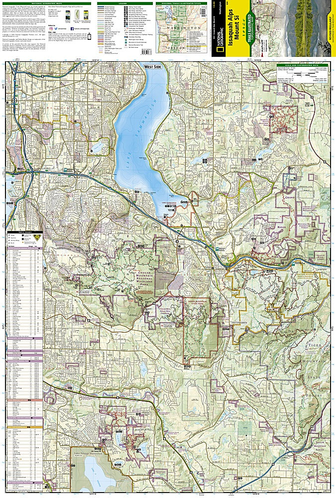
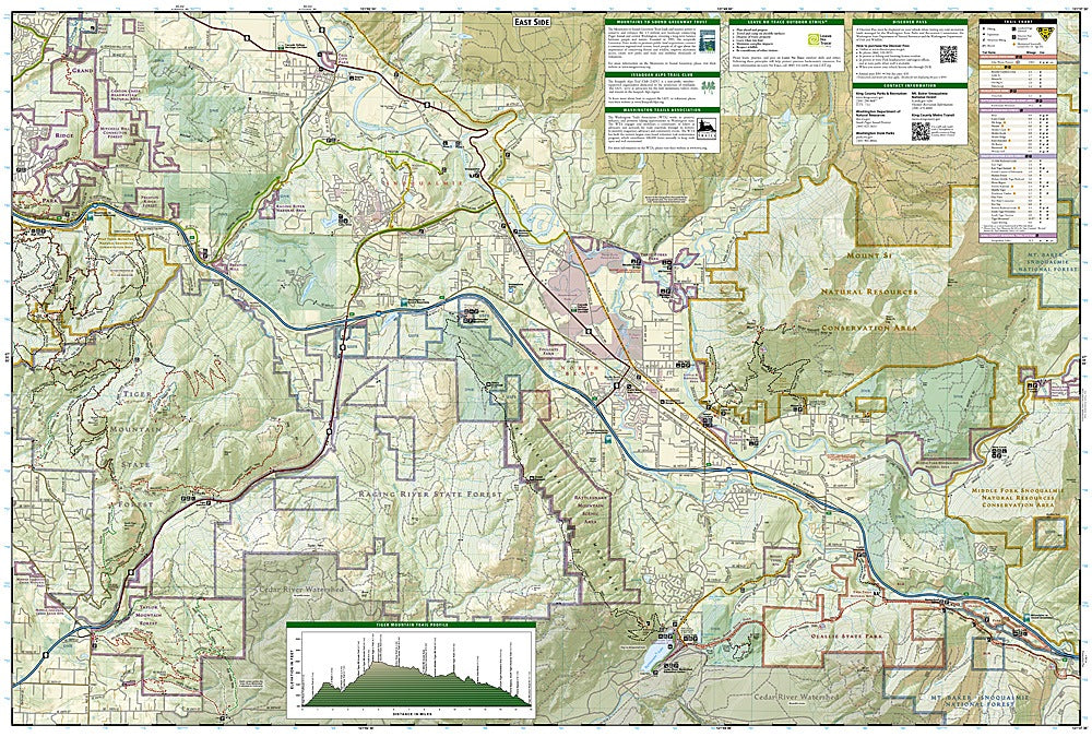
National Geographic’s Issaquah Alps & Mount Si Trails Illustrated Topographic Map #824 is the perfect companion for exploring one of Washington’s most popular outdoor playgrounds, located just east of Puget Sound and minutes from Seattle. This waterproof, tear-resistant map highlights the region’s best-loved destinations, including the iconic Mount Si, famous for its steep hike and sweeping views of the Snoqualmie Valley; Cougar Mountain Regional Wildland Park, rich with remnants of 19th-century coal mining history; and Tiger Mountain, a favorite for hikers, bikers, and paragliders alike.
The Issaquah Alps, named by mountaineer Harvey Manning in the 1970s, form a unique chain of forested peaks that serve as a gateway to the Cascades. The map details trails with mileage markers, elevation profiles, and usage designations, ensuring you can plan your adventure whether hiking, biking, or horseback riding. With clear topography, recreation symbols, and regional highlights, this map is your key to discovering the natural beauty and history of the Pacific Northwest.
SKU: SKU:TRA824
View full details