National Geographic
Ireland Wall Map by National Geographic
Ireland Wall Map by National Geographic
Couldn't load pickup availability
Share
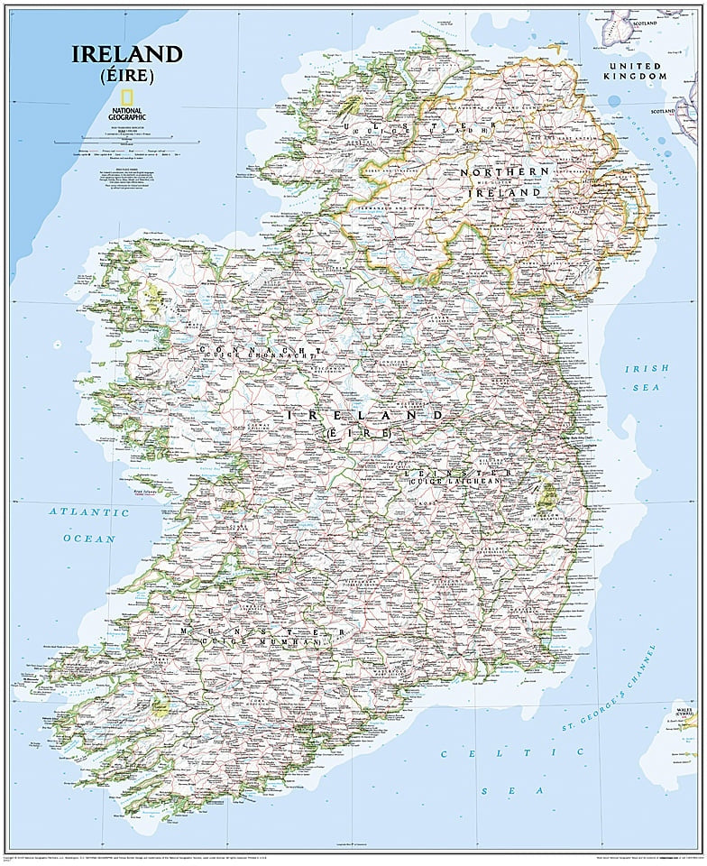
Bring Ireland to life with the National Geographic Ireland Wall Map, a 30" x 36" visual guide perfect for travelers, adventurers, and culture lovers. Featuring over 1,000 towns, counties, roads, and historic sites across Ireland and Northern Ireland, the map also highlights Ireland’s bilingual heritage: in Gaeltacht regions, only Irish place-names appear, while elsewhere both Irish and English names are shown.
Plan road trips along the Ring of Kerry, explore the Cliffs of Moher, or trace family roots in Cork and Galway with ease. Combining practical detail with a clean, classic design, this map is as functional as it is beautiful—a must-have for travel planning, exploration, and adding a touch of Irish charm to any wall.
ArticlesSKU: SKU:NGSIRE
View full details