Ordnance Survey
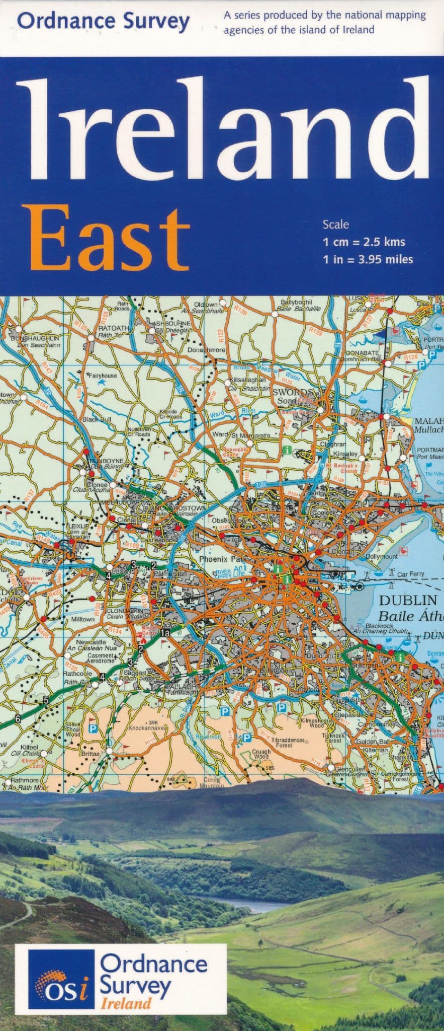
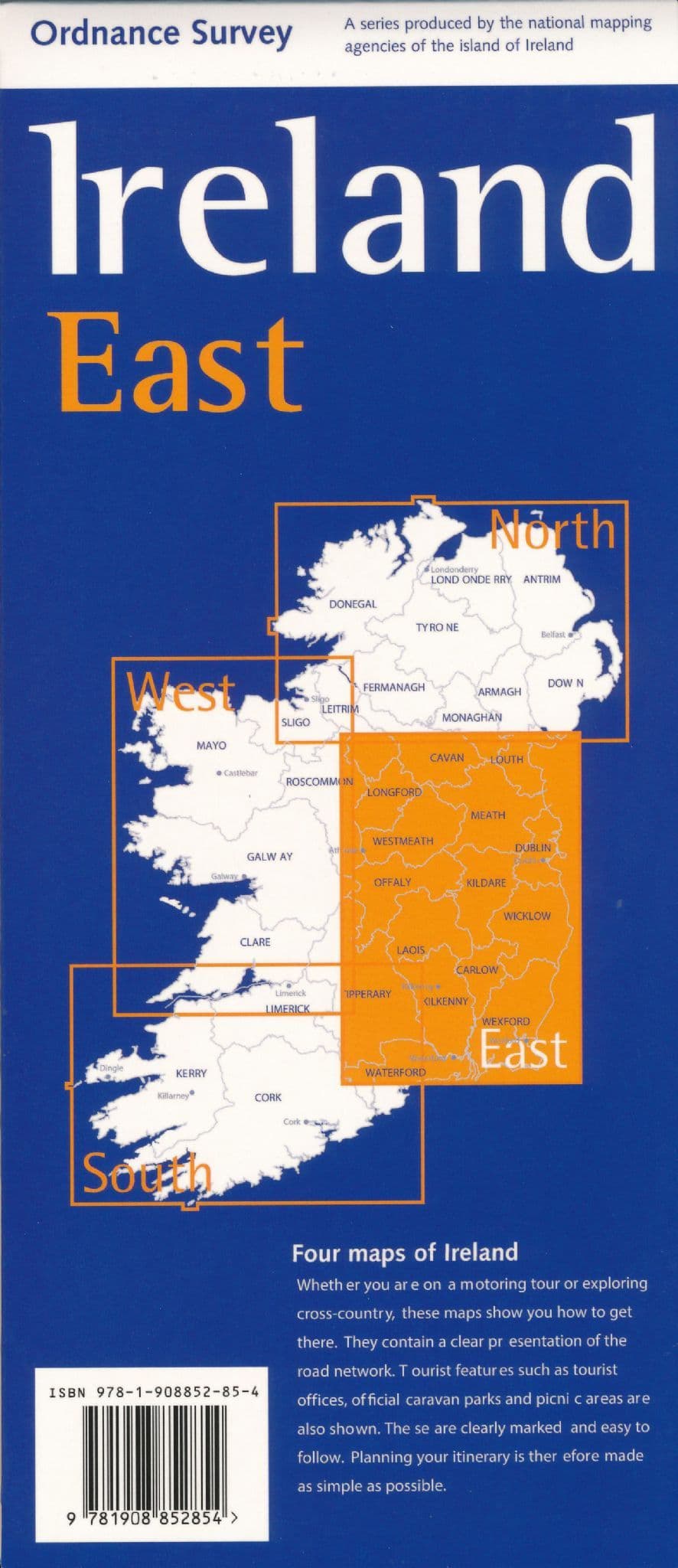
Ireland East Map by Ordnance Survey
Ireland East Map by Ordnance Survey
Couldn't load pickup availability
Share
Discover the rich charm of Ireland’s eastern landscapes with the Ireland East Road Map by Ordnance Survey, a beautifully detailed companion for travelers and explorers alike. At a scale of 1:250,000, this map reveals the full tapestry of the region—from winding country roads and railway lines to sweeping hill ranges shaded by altitude.
It’s not just about getting from A to B; it’s about discovering what lies between. Visit the ancient monastic site of Glendalough nestled in the Wicklow Mountains, or take a stroll through the historic streets of Kilkenny, famed for its medieval architecture and lively arts scene. Explore hidden woodlands, scenic campsites, and heritage properties marked clearly for your convenience.
Whether you're chasing coastlines or castles, this map helps bring your adventure to life, all without an index to slow you down—just pure exploration guided by your curiosity and a trusty grid.
SKU: SKU:MAPIREIREE
View full details