DeLorme
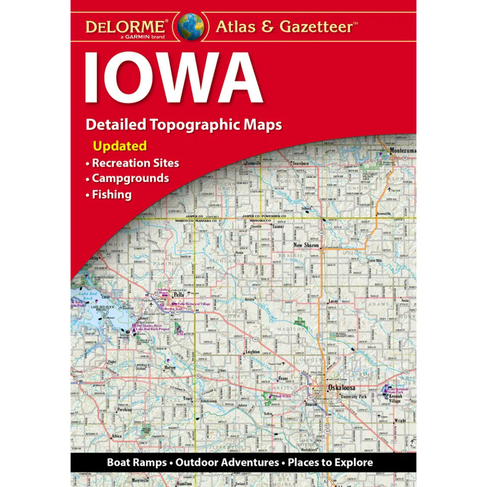
Iowa Topographic Atlas & Gazetteer by DeLorme
Iowa Topographic Atlas & Gazetteer by DeLorme
Couldn't load pickup availability
Share
Hit the trails, chase hidden fishing holes, and discover the Hawkeye State beyond the beaten path! The Iowa Topographic Atlas & Gazetteer by DeLorme is your ticket to backroads, scenic escapes, and outdoor adventures worth taking.
Forget squinting at your phone or wrestling with oversized folded maps! This handy, book-bound atlas keeps detailed, full-color topographic maps at your fingertips, ready to flip through and compare wherever your Iowa adventures lead. Across 51 pages, discover winding country roads, historic sites, recreation areas, hiking trailheads, boat ramps, and prime fishing spots.
Make tracks for Lake Red Rock, Iowa’s second-largest lake and a favorite for boating, hiking, and wildlife watching, or explore the wooded trails and limestone bluffs of Maquoketa Caves State Park, a beloved destination for spelunking and outdoor fun. From rolling farmland to river valleys and hidden natural gems, there’s plenty to explore in the Hawkeye State!
An extensive index, latitude/longitude grid for GPS navigation, and inset maps of major cities and state lands make trip planning a breeze. Whether you’re hiking, camping, fishing, or road-tripping, this DeLorme Iowa Topographic Atlas & Gazetteer is your reliable companion for finding adventure off the beaten path!
SKU: SKU:DELIA
View full details