Rand McNally
Iowa State Highway Laminated Map by Rand McNally - Easy to Fold
Iowa State Highway Laminated Map by Rand McNally - Easy to Fold
Couldn't load pickup availability
Share
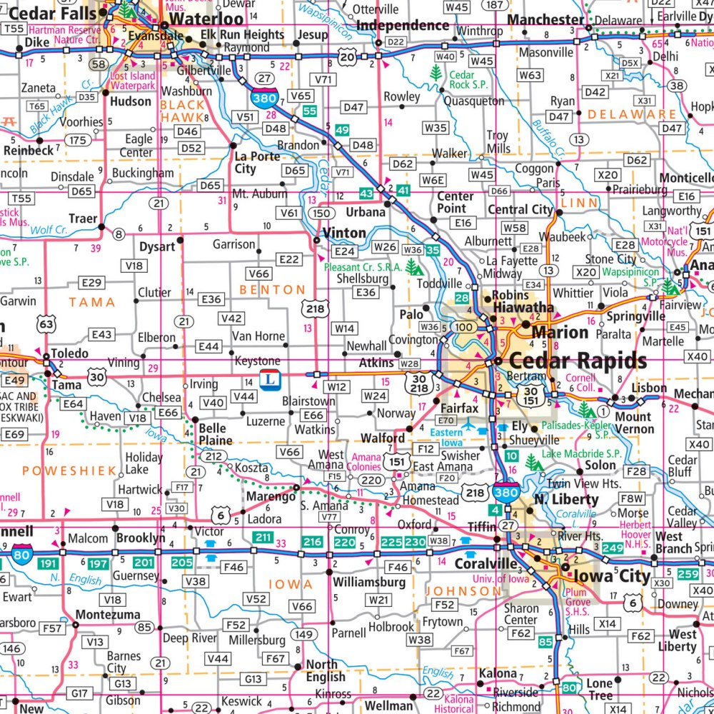
Jumpstart your next Midwest adventure with the Iowa State Highway Laminated Map by Rand McNally—designed to hook travelers who want fast, reliable, on-the-road navigation. Its easy-to-fold, ultra-durable laminated build lets you jot down routes, circle must-see stops, wipe it clean, and use it again without worrying about rips or wrinkles, giving it a major advantage over fragile paper maps or drained phone batteries.
This full-color, enhanced-cartography map highlights Iowa’s highways, county lines, scenic byways, and key attractions. Don't miss the lesser-known but unforgettable Maquoketa Caves State Park—an ideal road trip detour packed with dramatic caverns and trails. Mileage buffs will love that Iowa offers roughly 114,000 miles of public roads, making this map an essential tool for tackling one of the largest state-maintained networks in the country.
With a quick-reference legend, clear city index, and fold sections that keep navigation simple, this laminated map is your go-anywhere, use-forever travel companion.
SKU: SKU:RMCUSIAE
View full details